


Mondoubleau sud retour Laniau-Maladrie

Pierrannick
User
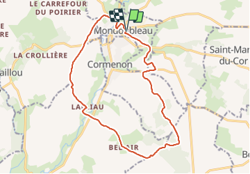

Length
16.6 km

Max alt
213 m

Uphill gradient
274 m
Km-Effort
20 km

Min alt
97 m

Downhill gradient
273 m
Boucle
Yes
Creation date :
2022-03-12 09:00:32.0
Updated on :
2022-03-12 11:41:03.564
2h34
Difficulty : Very difficult

FREE GPS app for hiking
 SityTrail
IGN / Geographical institutes
SityTrail Plus
The world is yours!
About
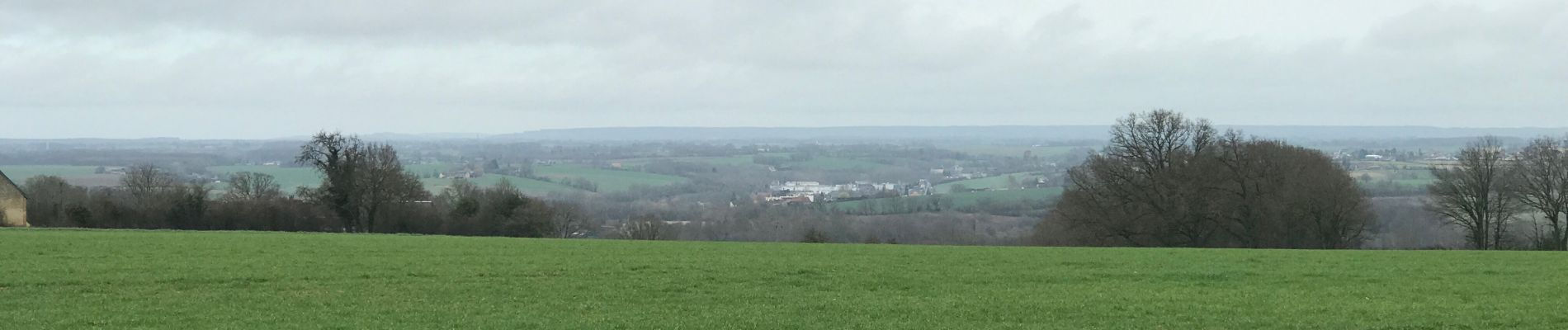
Trail Walking of 16.6 km to be discovered at Centre-Loire Valley, Loir-et-Cher, Mondoubleau. This trail is proposed by Pierrannick.
Photos

Positioning
Country:
France
Region :
Centre-Loire Valley
Department/Province :
Loir-et-Cher
Municipality :
Mondoubleau
Location:
Unknown
Start:(Dec)
Start:(UTM)
343351 ; 5316345 (31T) N.
Comments