


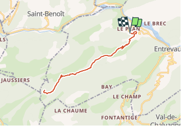
Entrevaux - Chapelle St Jean du désert

soca
User

Length
16.4 km

Max alt
1290 m

Uphill gradient
790 m
Km-Effort
27 km

Min alt
569 m

Downhill gradient
790 m
Boucle
Yes
Creation date :
2022-03-13 07:57:14.916
Updated on :
2022-03-13 07:59:57.786
6h00
Difficulty : Very difficult

FREE GPS app for hiking
 SityTrail
IGN / Geographical institutes
SityTrail Plus
The world is yours!
About
Trail Walking of 16.4 km to be discovered at Provence-Alpes-Côte d'Azur, Alpes-de-Haute-Provence, Entrevaux. This trail is proposed by soca.
Description
Départ du hameau du Plan - la Colle - col de St Jeannet - Chapelle St Jean du désert - Retour
Positioning
Country:
France
Region :
Provence-Alpes-Côte d'Azur
Department/Province :
Alpes-de-Haute-Provence
Municipality :
Entrevaux
Location:
Unknown
Start:(Dec)
Start:(UTM)
322149 ; 4869553 (32T) N.
Comments