


11 km | 13.8 km-effort

User


FREE GPS app for hiking
 SityTrail
IGN / Geographical institutes
SityTrail World
The world is yours!
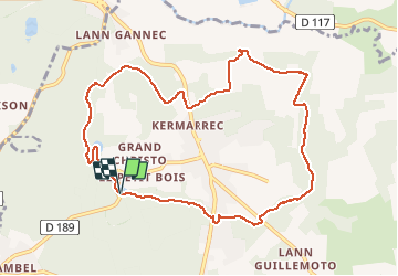
Trail Walking of 10.1 km to be discovered at Brittany, Morbihan, Camors. This trail is proposed by tracegps.
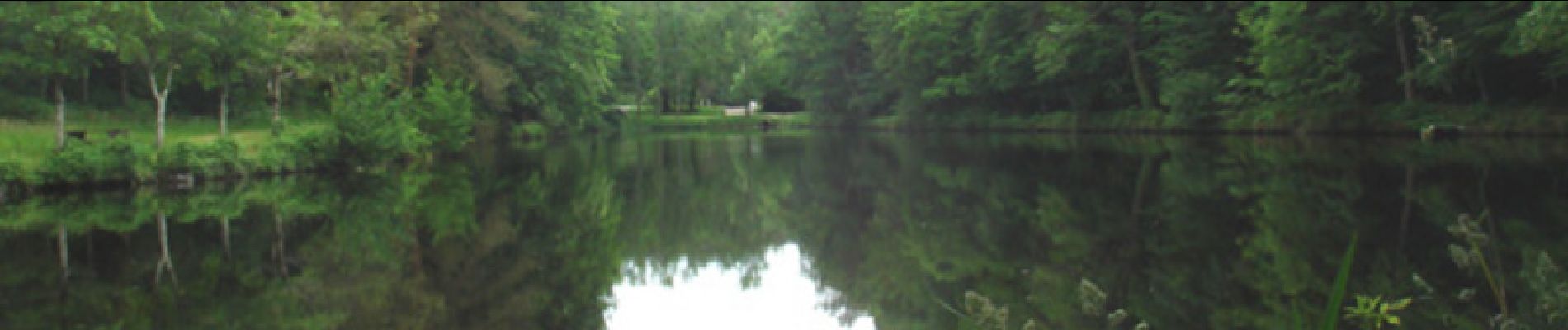
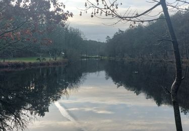
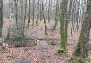
Ce circuit emprunte essentiellement des sentiers qui font le tour du bourg de Camors (Morbihan). Départ du parking sur le site du Petit-Bois. Après avoir longé deux étangs en forêt domaniale, une courte mais rude montée permet de rejoindre un autre secteur boisé avant de poursuivre la randonnée entre vergers et pâtures. Ensuite, belle et sauvage vallée encaissée des Korrigans, le long du ruisseau. Poursuite sur route secondaire qui borde le Bourg avant de s'enfoncer à nouveau dans la forêt domaniale pour retrouver le point de départ.


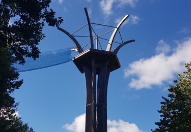
Walking
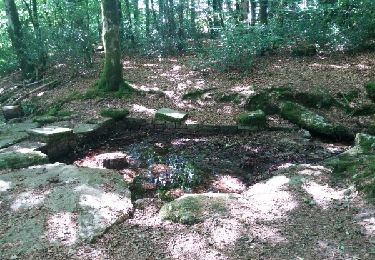
Walking
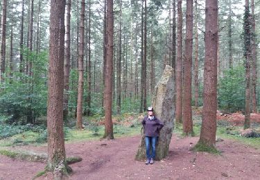
Walking
Walking
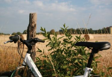
Cycle

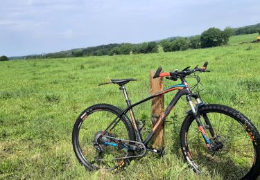
Mountain bike
Walking
Mountain bike

Walking