


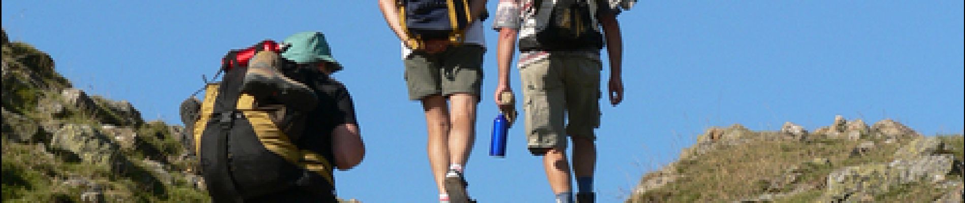
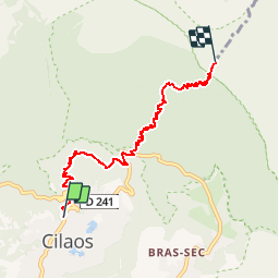
GR® R2 De Cilaos à Caverne Dufour

tracegps
User


5h30
Difficulty : Difficult

FREE GPS app for hiking
 SityTrail
IGN / Geographical institutes
SityTrail Plus
The world is yours!
About
Trail Walking of 7.7 km to be discovered at Réunion, Unknown, Cilaos. This trail is proposed by tracegps.
Description
GR® R2 De Cilaos à Caverne Dufour. Attention, à partir du Bloc, plus aucun point d’eau jusqu’au gîte de la Caverne Dufour. Vous trouverez le descriptif détaillé de cette randonnée dans le Topo-guide® de la Fédération Française de la Randonnée Pédestre.
Photos

Positioning
Comments