st leu SityTrail > Trails > Outdoor > France > Hauts-de-France > Oise > Moyvillers SityTrail > Trails > Outdoor > France > Hauts-de-France > Oise > Moyvillers st leu Christophe 60 User 3D © OpenStreetMap contributors Length 69 km Max alt 103 m Uphill gradient 548 m Km-Effort 76 km Min alt 24 m Downhill gradient 615 m Boucle No Creation date : 2022-03-15 03:25:30.408 Updated on : 2022-03-15 07:38:56.497 (0 Reviews) Camping car 3h28 Difficulty : Very easy FREE GPS app for hiking SityTrail IGN / Geographical institutes SityTrail World The world is yours! About 
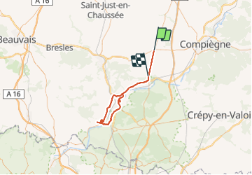
Trail Camping car of 69 km to be discovered at Hauts-de-France, Oise, Moyvillers. This trail is proposed by Christophe 60. Description om Legends | More details (PDF) Elevation profile Legends > 15% 15% - 10% 10% - 5% flat 5% - 10% 10% - 15% 15% - 30% > 30% Positioning Country: France Region : Hauts-de-France Department/Province : Oise Municipality : Moyvillers Location: Unknown Start:(Dec) 49.40276347 / 2.62617392 Start:(UTM) 472879 ; 5472298 (31U) N. Comments Please log in to post a review or rate the element Trails nearby pascha Grandfresnoy Walking (1) Grandfresnoy, Hauts-de-France, Oise, France 12.6 km | 14.7 km-effort 3h 17min Yes Christophe 60 mardi om Camping car Very easy (1) Francières, Hauts-de-France, Oise, France 106 km | 117 km-effort 10h 31min No jpblimond Arsy Walking Medium Arsy, Hauts-de-France, Oise, France 19.9 km | 23 km-effort 4h 38min Yes pascha Arsy Walking Easy Arsy, Hauts-de-France, Oise, France 12.2 km | 13.2 km-effort 2h 48min Yes pascha arsy Walking Very easy Arsy, Hauts-de-France, Oise, France 12.7 km | 14 km-effort 2h 53min Yes