Trail Walking Plougasnou - Tour du Trégor morlaisien GR® 380 - GR® 34D:  Plougasnou - St Samson - Photo

Tour du Trégor morlaisien GR® 380 - GR® 34D: Plougasnou - St Samson

 tracegps
tracegps

User

© OpenStreetMap contributors
Length
Length
13 km
Max alt
Max alt
80 m
Uphill gradient
Uphill gradient
180 m
Km-Effort
Km-Effort  
15.6 km
Min alt
Min alt
1 m
Downhill gradient
Downhill gradient
240 m
Boucle
Boucle
No
Creation date :
2014-12-10 00:00:00.0
Updated on :
2014-12-10 00:00:00.0

(0 Reviews)

Walking
Walking
2h40
Difficulty : Medium

Scan this QR Code to open this trail in the SityTrail application

FREE GPS app for hiking

Logo SityTrail SityTrail

IGN / Geographical institutes

Download SityTrail from the App Store Download SityTrail from Google Play

Logo SityTrail SityTrail World

The world is yours!

Download SityTrail from the App Store Download SityTrail from Google Play Download SityTrail on Huawei AppGallery

About

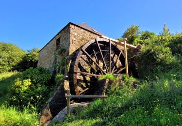
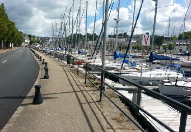
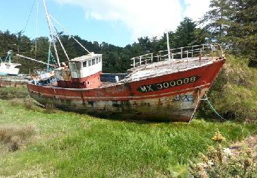
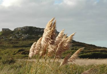
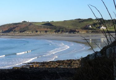
Trail Walking of 13 km to be discovered at Brittany, Finistère, Plougasnou. This trail is proposed by tracegps.

Description

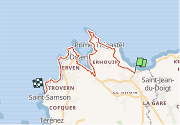
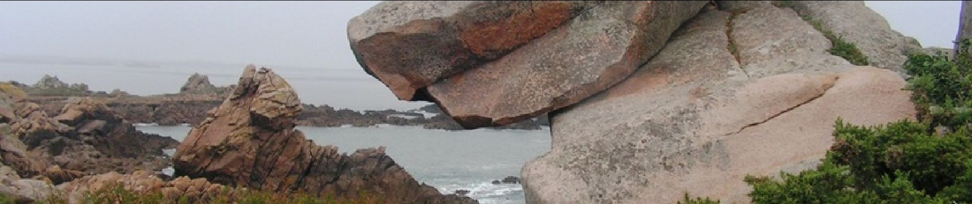
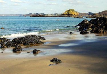
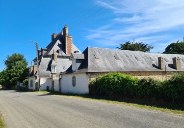
Tour du Trégor morlaisien GR® 380 - GR® 34D: Plougasnou - St Samson Le littoral fait défiler ses promontoires qui offrent de belles vues. La Presqu’île de Barnenez à Plouezoc’h est dominée par le plus imposant monument néolithique d’Europe, le Cairn de Barnenez, vieux de 7 000 ans. Vous trouverez le descriptif détaillé de cette randonnée dans le Topo-guide® de la Fédération Française de la Randonnée Pédestre. Le découpage proposé ici est donné à titre indicatif pour équilibrer la distance de chaque tronçon. Chacun peut l’adapter à son niveau. Pour toute information complémentaire sur la randonnée : Comité départemental du Finistère: 4 ROUTE DE ST RENAN BP 02 29810 PLOUARZEL Tél. : 0298896006

Elevation profile

Photos

Positioning

Country:
France
Region :
Brittany
Department/Province :
Finistère
Municipality :
Plougasnou
Location:
Unknown
Start:(UTM)
441917 ; 5394324 (30U) N.

Trails nearby

Trail Walking Saint-Jean-du-Doigt - St Jean du Doigt et la Côte de l'Armorique - Photo
Walking
tracegps

Walking

Very difficult
(1)
Saint-Jean-du-Doigt, Brittany, Finistère, France
18.4 km | 24 km-effort
4h 30min
Yes
Trail Nordic walking Guimaëc - guimaec loquirec - Photo
Nordic walking
elianette

Nordic walking

Very easy
(1)
Guimaëc, Brittany, Finistère, France
8.7 km | 11.2 km-effort
2h 30min
No
Trail Walking Plougasnou - Térénez-Barnenez - Photo
Walking
Carn

Walking

Medium
Plougasnou, Brittany, Finistère, France
14.4 km | 17.4 km-effort
3h 16min
Yes
Trail Walking Guimaëc - Bretagne nord j6  am : De Guimaec à Locquirec - Photo
Walking
chessyca

Walking

Very easy
Guimaëc, Brittany, Finistère, France
10.5 km | 13.2 km-effort
3h 14min
No
Trail Walking Plougasnou - Bretagne nord J5 De Plougasnou à Guimaec - Photo
Walking
chessyca

Walking

Difficult
Plougasnou, Brittany, Finistère, France
21 km | 29 km-effort
5h 51min
No
Trail Walking Plougasnou - GR 34 étape 23 - Photo
Walking
lagardienne

Walking

Easy
Plougasnou, Brittany, Finistère, France
24 km | 29 km-effort
7h 0min
No
Trail Walking Guimaëc - GR 34 étape 22 - Photo
Walking
lagardienne

Walking

Medium
Guimaëc, Brittany, Finistère, France
27 km | 36 km-effort
8h 37min
No
Trail Walking Saint-Jean-du-Doigt - Randonnée de Saint Jean du Doigt à Primel Trégastel - Photo
Walking
tracegps

Walking

Medium
Saint-Jean-du-Doigt, Brittany, Finistère, France
13 km | 16.2 km-effort
3h 0min
Yes
Trail Walking Saint-Jean-du-Doigt - De St Jean du Doigt à Plougasnou - Photo
Walking
tracegps

Walking

Easy
Saint-Jean-du-Doigt, Brittany, Finistère, France
4.9 km | 6.5 km-effort
1h 15min
Yes


Close
My subscriptions