


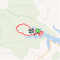

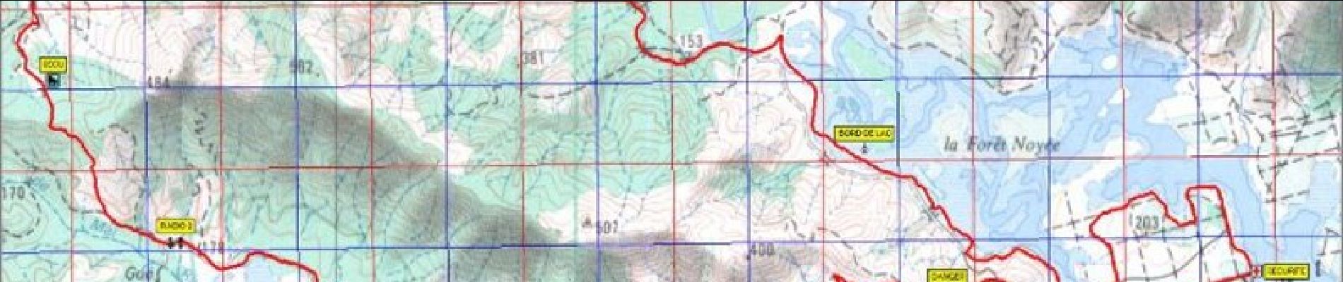
26 km | 38 km-effort

User


FREE GPS app for hiking
 SityTrail
IGN / Geographical institutes
SityTrail World
The world is yours!
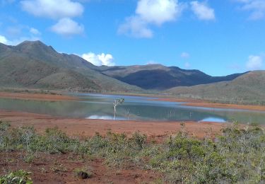
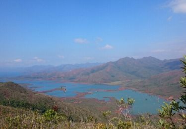
Trail Mountain bike of 27 km to be discovered at Unknown, South Province, Yaté. This trail is proposed by tracegps.
Raid VTT du sud 27km (Course la Pérignon )

Walking