


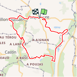

19.5 km | 24 km-effort

User


FREE GPS app for hiking
 SityTrail
IGN / Geographical institutes
SityTrail World
The world is yours!
Trail Walking of 19.5 km to be discovered at Occitania, Gers, Roquelaure. This trail is proposed by tracegps.
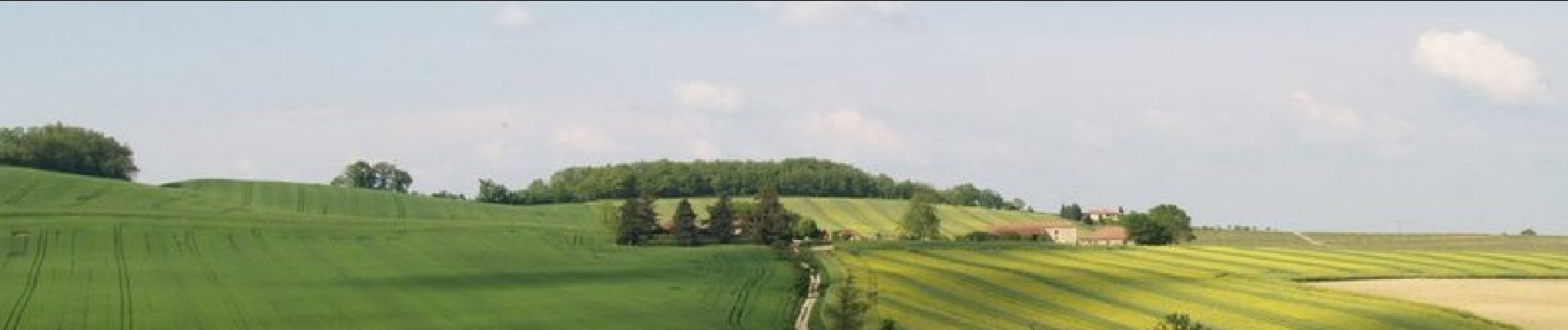
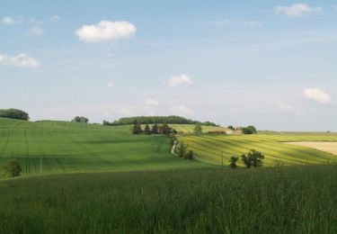
Boucle de 19 km autour de Roquelaure en empruntant les chemins de la campagne gersoise, et quelques chemins en bordure de champs. Dénivelé raisonnable dans la première moitié, la remontée du Gers vers Roquelaure est un peu plus dure. La dernière grimpette pour arriver au château d'eau permettra d'atteindre un beau panorama sur la vallée du Gers et la ville d'Auch.


Mountain bike

Walking