


La Meuse de Charny sur Meuse à Regnéville

tracegps
User
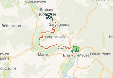

Length
15 km

Max alt
193 m

Uphill gradient
88 m
Km-Effort
16.2 km

Min alt
178 m

Downhill gradient
92 m
Boucle
No
Creation date :
2014-12-10 00:00:00.0
Updated on :
2014-12-10 00:00:00.0
2h30
Difficulty : Medium

FREE GPS app for hiking
 SityTrail
IGN / Geographical institutes
SityTrail Plus
The world is yours!
About
Trail Other activity of 15 km to be discovered at Grand Est, Meuse, Charny-sur-Meuse. This trail is proposed by tracegps.
Description
Calme de l'eau, faune et flore en milieu naturel, promenade en famille ou challenge entre amis, tout est permis... Parcours sans aucun risque en période estivale.
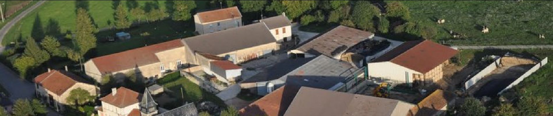
Photos


Positioning
Country:
France
Region :
Grand Est
Department/Province :
Meuse
Municipality :
Charny-sur-Meuse
Location:
Unknown
Start:(Dec)
Start:(UTM)
672296 ; 5453329 (31U) N.
Comments