


Mourre d' Agnis-16-03-21

Christiancordin
User
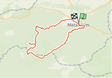

Length
18.7 km

Max alt
910 m

Uphill gradient
710 m
Km-Effort
28 km

Min alt
386 m

Downhill gradient
707 m
Boucle
Yes
Creation date :
2022-03-16 07:52:21.74
Updated on :
2022-03-17 10:26:18.417
5h39
Difficulty : Medium

FREE GPS app for hiking
 SityTrail
IGN / Geographical institutes
SityTrail Plus
The world is yours!
About
Trail Walking of 18.7 km to be discovered at Provence-Alpes-Côte d'Azur, Var, Mazaugues. This trail is proposed by Christiancordin.
Description
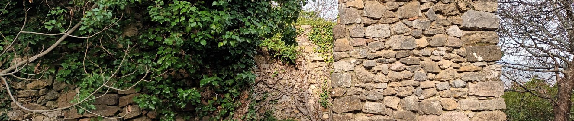
Mazaugues-le château-GR 99-la petite Colle-le Mourre d' Agnis-la Taoule.
Photos


Positioning
Country:
France
Region :
Provence-Alpes-Côte d'Azur
Department/Province :
Var
Municipality :
Mazaugues
Location:
Unknown
Start:(Dec)
Start:(UTM)
736843 ; 4803651 (31T) N.
Comments