


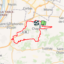

17.1 km | 23 km-effort

User


FREE GPS app for hiking
 SityTrail
IGN / Geographical institutes
SityTrail World
The world is yours!
Trail Mountain bike of 29 km to be discovered at Auvergne-Rhône-Alpes, Rhône, Chaponnay. This trail is proposed by tracegps.
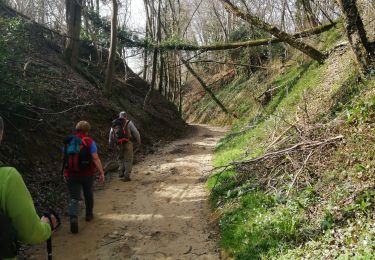
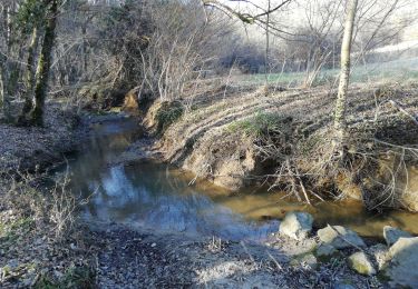
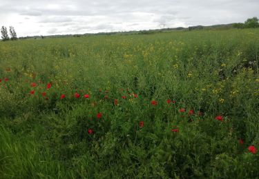
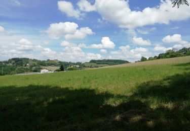
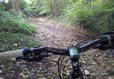
Boucle avec chemins en terre, route bitumées, gravillons, en partie roulante, et chemins terre-boue (suivant la météo...) recouverts de feuilles et gros galets moins roulants surtout dans les parties boisées. Quelques descentes du VTT pour franchir quelques portions, mais assez agréable dans l'ensemble, avec quelques vues surplombant Lyon Est, bref, sympa.. Départ de la mairie de Chaponnay.


Walking

Mountain bike
On foot
Walking
Walking

Mountain bike
Walking
Mountain bike
Mountain bike