


18-03-2022 Ponts de la Caille - Creux de Vallières

Kargil
User GUIDE
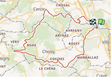

Length
25 km

Max alt
815 m

Uphill gradient
796 m
Km-Effort
35 km

Min alt
447 m

Downhill gradient
795 m
Boucle
Yes
Creation date :
2022-03-18 08:28:58.06
Updated on :
2022-03-18 16:31:24.572
5h47
Difficulty : Medium

FREE GPS app for hiking
 SityTrail
IGN / Geographical institutes
SityTrail Plus
The world is yours!
About
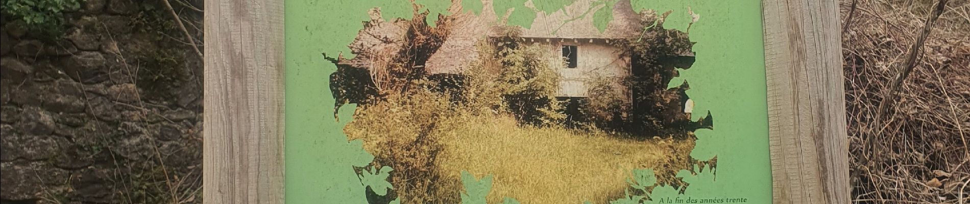
Trail Walking of 25 km to be discovered at Auvergne-Rhône-Alpes, Upper Savoy, Allonzier-la-Caille. This trail is proposed by Kargil.
Photos


Positioning
Country:
France
Region :
Auvergne-Rhône-Alpes
Department/Province :
Upper Savoy
Municipality :
Allonzier-la-Caille
Location:
Unknown
Start:(Dec)
Start:(UTM)
276429 ; 5099228 (32T) N.
Comments