


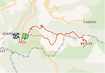
Loda Hameau de Beasse Lantosque

GrouGary
User


4h13
Difficulty : Easy

FREE GPS app for hiking
 SityTrail
IGN / Geographical institutes
SityTrail Plus
The world is yours!
About
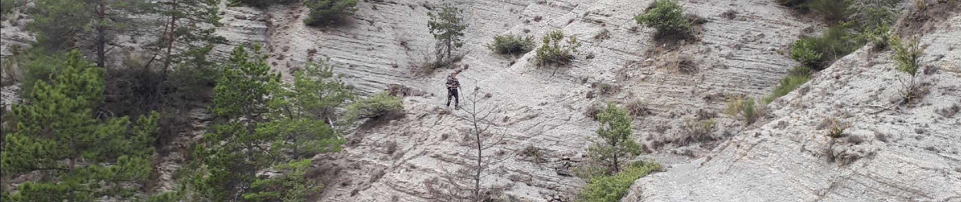
Trail Walking of 11.4 km to be discovered at Provence-Alpes-Côte d'Azur, Maritime Alps, Lantosque. This trail is proposed by GrouGary.
Description
Petite boucle sans difficultés.
Ne pas revenir par les pylones (sans intérêt, sauf celui de rajouter un peu de dénivelés dans la forêt)
Revenir sur le sentier de départ puis emprunter un autre sentier (tirets noirs sur IGN) qui revient aux Coulets directement.
Photos

Positioning
Comments