Trail Walking Bessas - Le Puy Lacher - Bessas - Photo

Le Puy Lacher - Bessas

 tracegps
tracegps

User

© OpenStreetMap contributors
Length
Length
18.3 km
Max alt
Max alt
462 m
Uphill gradient
Uphill gradient
677 m
Km-Effort
Km-Effort  
27 km
Min alt
Min alt
163 m
Downhill gradient
Downhill gradient
677 m
Boucle
Boucle
Yes
Creation date :
2014-12-10 00:00:00.0
Updated on :
2014-12-10 00:00:00.0

(0 Reviews)

Walking
Walking
5h00
Difficulty : Medium

Scan this QR Code to open this trail in the SityTrail application

FREE GPS app for hiking

Logo SityTrail SityTrail

IGN / Geographical institutes

Download SityTrail from the App Store Download SityTrail from Google Play

Logo SityTrail SityTrail World

The world is yours!

Download SityTrail from the App Store Download SityTrail from Google Play Download SityTrail on Huawei AppGallery

About

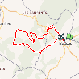
Trail Walking of 18.3 km to be discovered at Auvergne-Rhône-Alpes, Ardèche, Bessas. This trail is proposed by tracegps.

Description

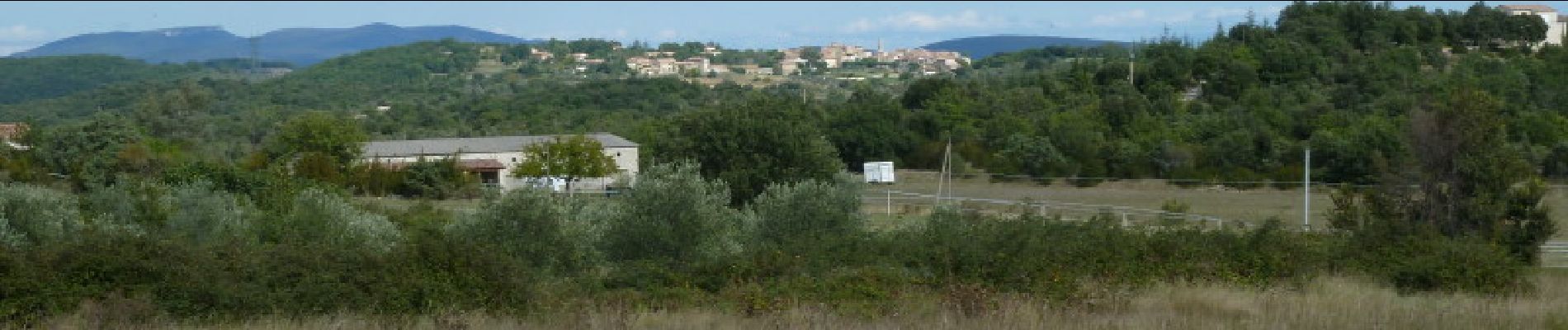
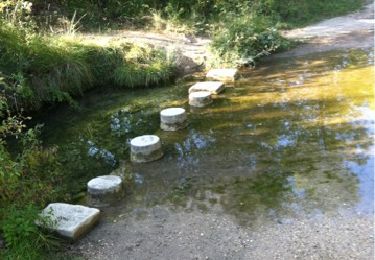
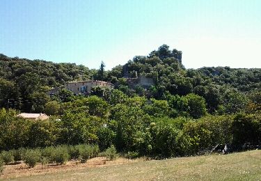
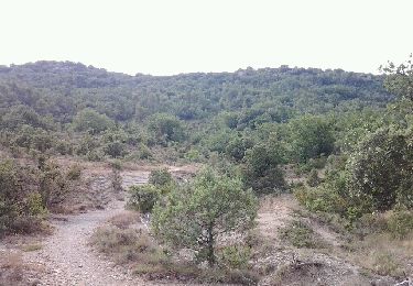
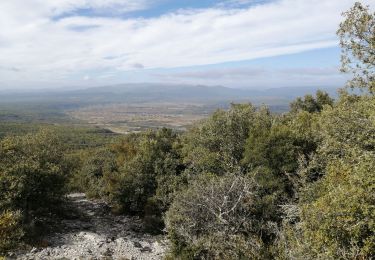
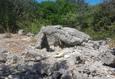
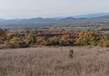
Du parking randonneurs de Bessas, partir vers le col de la Serre et Puy Lacher (aller retour). Suivre la crête de la montagne de Serre, descendre et remonter vers les rochers de Carabasse, quitter la crête pour gagner Les Mourgues puis les Divols. Remonter sur la crête et retourner au départ par le versant sud. Attention au cumul de montées, Belles vues sur l’Ardèche du sud et bonne rando.

Elevation profile

Photos

Positioning

Country:
France
Region :
Auvergne-Rhône-Alpes
Department/Province :
Ardèche
Municipality :
Bessas
Location:
Unknown
Start:(UTM)
603753 ; 4910915 (31T) N.

Trails nearby

Trail Walking Bessas - Le Puy Lacher par les crêtes  - Photo
Walking
csy95

Walking

Difficult
(2)
Bessas, Auvergne-Rhône-Alpes, Ardèche, France
10.2 km | 16.3 km-effort
3h 10min
Yes
Trail Running Grospierres - autour du centre Pierre et vacances en Ardèche- grospierre le rouret - Photo
Running
sabert84

Running

Easy
Grospierres, Auvergne-Rhône-Alpes, Ardèche, France
12.4 km | 17.7 km-effort
1h 23min
Yes
Trail Mountain bike Grospierres - Col de la Croix de Fabre - Photo
Mountain bike
jbmathi

Mountain bike

Difficult
Grospierres, Auvergne-Rhône-Alpes, Ardèche, France
16.5 km | 22 km-effort
1h 48min
Yes
Trail Mountain bike Grospierres - Col de la Cize par chemins - Photo
Mountain bike
jbmathi

Mountain bike

Medium
Grospierres, Auvergne-Rhône-Alpes, Ardèche, France
17 km | 22 km-effort
1h 34min
Yes
Trail Mountain bike Barjac - barjac - la bastide de Virac - Photo
Mountain bike
ledrede30

Mountain bike

Difficult
(3)
Barjac, Occitania, Gard, France
28 km | 36 km-effort
Unknown
Yes
Trail Walking Grospierres - grospieres  - Photo
Walking
Vero7684

Walking

Medium
Grospierres, Auvergne-Rhône-Alpes, Ardèche, France
13.6 km | 20 km-effort
4h 27min
No
Trail Walking Barjac - barjac dolmens avens - Photo
Walking
Dan30

Walking

Easy
Barjac, Occitania, Gard, France
17.4 km | 22 km-effort
5h 21min
Yes
Trail Walking Barjac - 2019-11-26 13:50 - Photo
Walking
ganinette

Walking

Medium
Barjac, Occitania, Gard, France
9.6 km | 11.9 km-effort
2h 42min
Yes
Trail Walking Saint-Sauveur-de-Cruzières - Saint Sauveur de Cruzières - Photo
Walking
Did JP

Walking

Medium
Saint-Sauveur-de-Cruzières, Auvergne-Rhône-Alpes, Ardèche, France
5.9 km | 9.1 km-effort
1h 40min
Yes


Close
My subscriptions