


Source de l'Huveaune_Mercredi

ARPF
User
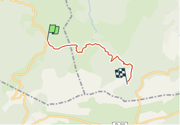

Length
4.2 km

Max alt
481 m

Uphill gradient
103 m
Km-Effort
5.4 km

Min alt
427 m

Downhill gradient
60 m
Boucle
No
Creation date :
2022-03-19 12:00:30.523
Updated on :
2022-03-19 12:01:17.602
1h14
Difficulty : Easy

FREE GPS app for hiking
 SityTrail
IGN / Geographical institutes
SityTrail Plus
The world is yours!
About
Trail On foot of 4.2 km to be discovered at Provence-Alpes-Côte d'Azur, Var, Saint-Zacharie. This trail is proposed by ARPF.
Positioning
Country:
France
Region :
Provence-Alpes-Côte d'Azur
Department/Province :
Var
Municipality :
Saint-Zacharie
Location:
Unknown
Start:(Dec)
Start:(UTM)
721677 ; 4804082 (31T) N.
Comments