


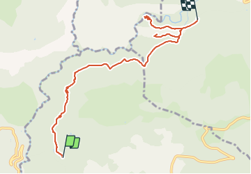
Mons - Bassins St Cézaire- Arche de Ponadieu

soca
User

Length
9.2 km

Max alt
709 m

Uphill gradient
430 m
Km-Effort
14.6 km

Min alt
503 m

Downhill gradient
323 m
Boucle
No
Creation date :
2022-03-20 14:42:31.842
Updated on :
2022-03-20 14:53:06.622
3h40
Difficulty : Medium

FREE GPS app for hiking
 SityTrail
IGN / Geographical institutes
SityTrail Plus
The world is yours!
About
Trail Walking of 9.2 km to be discovered at Provence-Alpes-Côte d'Azur, Maritime Alps, Saint-Cézaire-sur-Siagne. This trail is proposed by soca.
Description
Cette randonnée longe le circuit d'eau avec une vue magnifique sur l'arrière pays Grassois en utilisant le tracé du GR®
510. On peut y voir le village de Mons.
Positioning
Country:
France
Region :
Provence-Alpes-Côte d'Azur
Department/Province :
Maritime Alps
Municipality :
Saint-Cézaire-sur-Siagne
Location:
Unknown
Start:(Dec)
Start:(UTM)
320264 ; 4838217 (32T) N.
Comments