Trail Walking Cuncy-lès-Varzy - Circuit de Vertenay - Cuncy les Varzy - Photo

Circuit de Vertenay - Cuncy les Varzy

 tracegps
tracegps

User

© OpenStreetMap contributors
Length
Length
8.5 km
Max alt
Max alt
306 m
Uphill gradient
Uphill gradient
157 m
Km-Effort
Km-Effort  
10.6 km
Min alt
Min alt
210 m
Downhill gradient
Downhill gradient
155 m
Boucle
Boucle
Yes
Creation date :
2014-12-10 00:00:00.0
Updated on :
2014-12-10 00:00:00.0

(0 Reviews)

Walking
Walking
2h30
Difficulty : Medium

Scan this QR Code to open this trail in the SityTrail application

FREE GPS app for hiking

Logo SityTrail SityTrail

IGN / Geographical institutes

Download SityTrail from the App Store Download SityTrail from Google Play

Logo SityTrail SityTrail World

The world is yours!

Download SityTrail from the App Store Download SityTrail from Google Play Download SityTrail on Huawei AppGallery

About

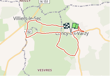
Trail Walking of 8.5 km to be discovered at Bourgogne-Franche-Comté, Nièvre, Cuncy-lès-Varzy. This trail is proposed by tracegps.

Description

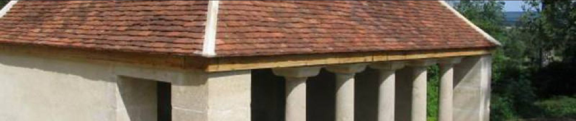
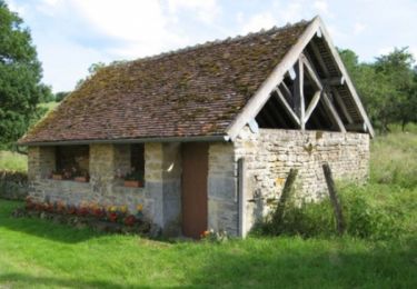
Départ de la place de l’église de Cuncy-les-Varzy. Le hameau de Vertenay comptait 15 habitants en 1859, il ne reste qu'un lavoir, le socle d'une croix et les ruines d'une grange. Retrouvez le circuit et son descriptif sur le site de la Communauté de Communes du Val du Sauzay.

Elevation profile

Photos

Positioning

Country:
France
Region :
Bourgogne-Franche-Comté
Department/Province :
Nièvre
Municipality :
Cuncy-lès-Varzy
Location:
Unknown
Start:(UTM)
534286 ; 5246586 (31T) N.

Trails nearby

Trail Walking Saint-Pierre-du-Mont - Circuit de Saint-Pierre-du-Mont   - Photo
Walking
tracegps

Walking

Medium
(1)
Saint-Pierre-du-Mont, Bourgogne-Franche-Comté, Nièvre, France
11.6 km | 14.6 km-effort
3h 0min
Yes
Trail Nordic walking Cuncy-lès-Varzy - La Grange Treillard à Arbourse - Photo
Nordic walking
BOUMA

Nordic walking

Medium
Cuncy-lès-Varzy, Bourgogne-Franche-Comté, Nièvre, France
35 km | 42 km-effort
7h 8min
No


Close
My subscriptions