Trail Walking Cany-Barville - Le Bout Perdu - Cany-Barville   - Photo

Le Bout Perdu - Cany-Barville

 tracegps
tracegps

User

© OpenStreetMap contributors
Length
Length
12.4 km
Max alt
Max alt
118 m
Uphill gradient
Uphill gradient
158 m
Km-Effort
Km-Effort  
14.5 km
Min alt
Min alt
11 m
Downhill gradient
Downhill gradient
158 m
Boucle
Boucle
Yes
Creation date :
2014-12-10 00:00:00.0
Updated on :
2014-12-10 00:00:00.0

(0 Reviews)

Walking
Walking
2h45
Difficulty : Medium

Scan this QR Code to open this trail in the SityTrail application

FREE GPS app for hiking

Logo SityTrail SityTrail

IGN / Geographical institutes

Download SityTrail from the App Store Download SityTrail from Google Play

Logo SityTrail SityTrail World

The world is yours!

Download SityTrail from the App Store Download SityTrail from Google Play Download SityTrail on Huawei AppGallery

About

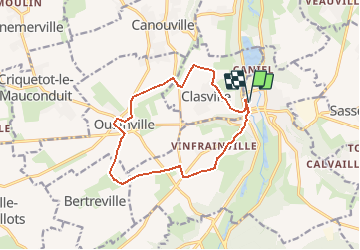
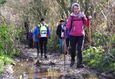
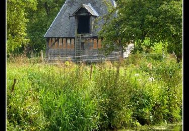
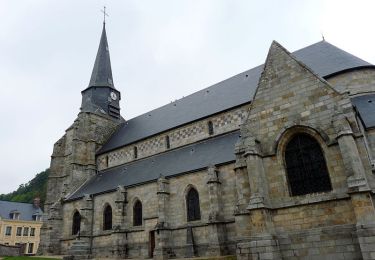
Trail Walking of 12.4 km to be discovered at Normandy, Seine-Maritime, Cany-Barville. This trail is proposed by tracegps.

Description

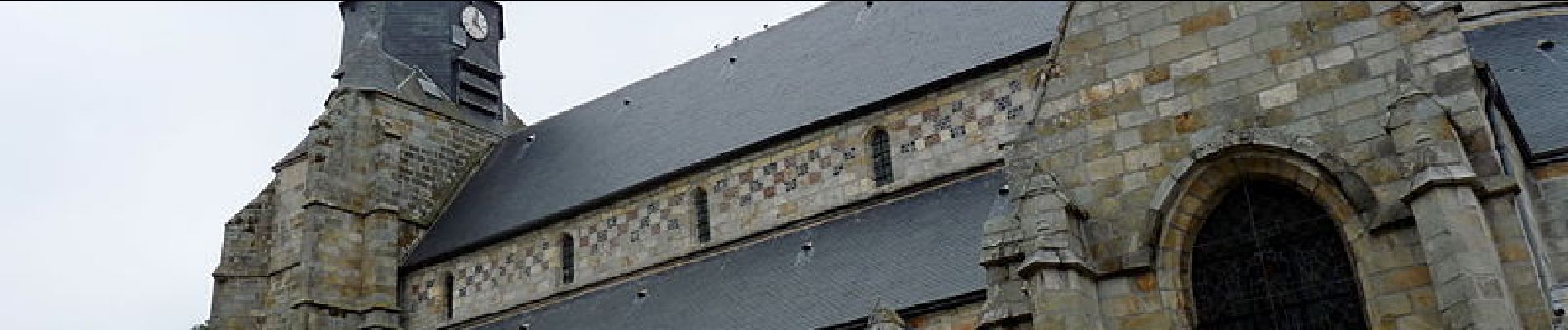
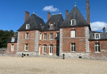
Départ au parking du Parc du Clos Saint Martin, rue du Home. Parcours sur le plateau à la découverte du patrimoine local.

Elevation profile

Photos

Positioning

Country:
France
Region :
Normandy
Department/Province :
Seine-Maritime
Municipality :
Cany-Barville
Location:
Unknown
Start:(UTM)
329658 ; 5517885 (31U) N.

Trails nearby

Trail Road bike Ocqueville - Les grandes dalles - Photo
Road bike
jpbonnemains

Road bike

Medium
Ocqueville, Normandy, Seine-Maritime, France
63 km | 70 km-effort
4h 16min
Yes
Trail Other activity Vittefleur - Autour de Caniel - Vittefleur - Photo
Other activity
tracegps

Other activity

Difficult
Vittefleur, Normandy, Seine-Maritime, France
13.4 km | 16.2 km-effort
1h 30min
Yes
Trail Walking Vittefleur - Autour de Caniel - Vittefleur - Photo
Walking
tracegps

Walking

Difficult
Vittefleur, Normandy, Seine-Maritime, France
13.4 km | 16.2 km-effort
3h 30min
Yes
Trail Other activity Cany-Barville - Le tour de Cany-Barville - Photo
Other activity
tracegps

Other activity

Difficult
Cany-Barville, Normandy, Seine-Maritime, France
21 km | 28 km-effort
2h 30min
Yes
Trail Walking Cany-Barville - Le tour de Cany-Barville - Photo
Walking
tracegps

Walking

Difficult
Cany-Barville, Normandy, Seine-Maritime, France
21 km | 28 km-effort
5h 30min
Yes
Trail Other activity Cany-Barville - Le Bout Perdu - Cany-Barville   - Photo
Other activity
tracegps

Other activity

Medium
Cany-Barville, Normandy, Seine-Maritime, France
12.4 km | 14.5 km-effort
1h 15min
Yes
Trail Other activity Vittefleur - Le camp cigarette - Paluel - Photo
Other activity
tracegps

Other activity

Difficult
Vittefleur, Normandy, Seine-Maritime, France
14 km | 15.8 km-effort
1h 30min
Yes
Trail Walking Vittefleur - Le camp cigarette - Paluel - Photo
Walking
tracegps

Walking

Difficult
Vittefleur, Normandy, Seine-Maritime, France
14 km | 15.8 km-effort
3h 30min
Yes
Trail Other activity Vittefleur - Autour du lac de Caniel - Cany Barville - Photo
Other activity
tracegps

Other activity

Medium
Vittefleur, Normandy, Seine-Maritime, France
11.1 km | 14.3 km-effort
1h 15min
Yes


Close
My subscriptions