Trail Walking Légéville-et-Bonfays - Le sentier de Pierrebonfays  - Légéville et Bonfays - Photo

Le sentier de Pierrebonfays  - Légéville et Bonfays

 tracegps
tracegps

User

© OpenStreetMap contributors
Length
Length
13.4 km
Max alt
Max alt
371 m
Uphill gradient
Uphill gradient
270 m
Km-Effort
Km-Effort  
17 km
Min alt
Min alt
291 m
Downhill gradient
Downhill gradient
271 m
Boucle
Boucle
Yes
Creation date :
2014-12-10 00:00:00.0
Updated on :
2014-12-10 00:00:00.0

(0 Reviews)

Walking
Walking
3h19
Difficulty : Medium

Scan this QR Code to open this trail in the SityTrail application

FREE GPS app for hiking

Logo SityTrail SityTrail

IGN / Geographical institutes

Download SityTrail from the App Store Download SityTrail from Google Play

Logo SityTrail SityTrail World

The world is yours!

Download SityTrail from the App Store Download SityTrail from Google Play Download SityTrail on Huawei AppGallery

About

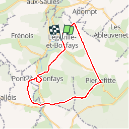
Trail Walking of 13.4 km to be discovered at Grand Est, Vosges, Légéville-et-Bonfays. This trail is proposed by tracegps.

Description

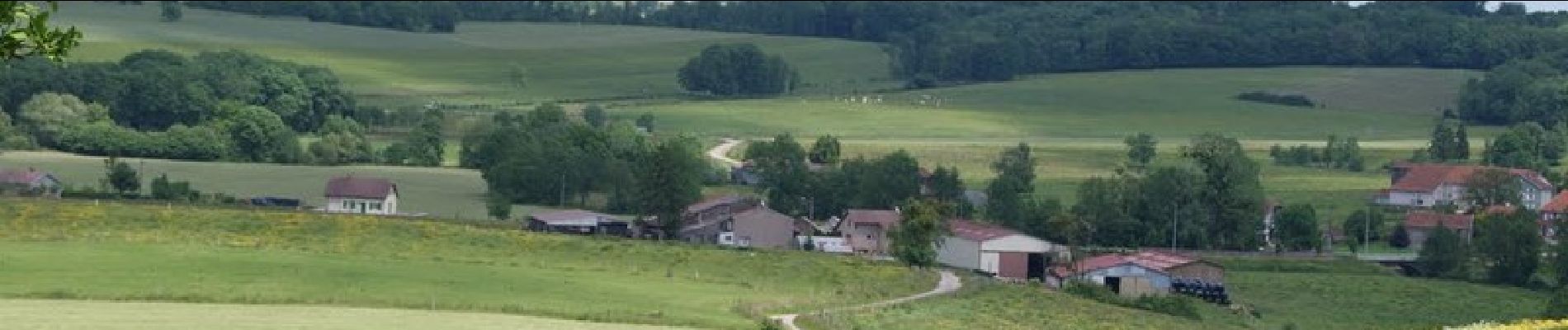
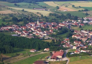
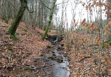
Vous découvrirez le village de Légéville-et-Bonfays, il est possible de débuter la randonnée à Pierrefitte ou Pont-lès-Bonfays. Vous emprunterez un chemin empierré, certainement une ancienne route ducale du 17e siècle, considérée par certains comme une ancienne voie romaine, et traverserez les bois de Pierrefitte et Pont-lès-Bonfays. Retrouvez le circuit et le descriptif sur le site du Syndicat d'Initiative de Darney et de sa Région.

Elevation profile

Photos

Positioning

Country:
France
Region :
Grand Est
Department/Province :
Vosges
Municipality :
Légéville-et-Bonfays
Location:
Unknown
Start:(UTM)
288207 ; 5340958 (32U) N.

Trails nearby

Trail Walking Sans-Vallois - Jésonville : circuit des monts Faucilles (ou des 4 éoliennes !) - Photo
Walking
ABICHE

Walking

Easy
Sans-Vallois, Grand Est, Vosges, France
16 km | 20 km-effort
3h 50min
Yes
Trail Walking Lerrain - Sentier des Hauts de Chaume - Lerrain - Photo
Walking
tracegps

Walking

Medium
Lerrain, Grand Est, Vosges, France
13.4 km | 15.7 km-effort
3h 25min
Yes
Trail Running Lerrain - lerrain-maupotel - Photo
Running
tieriprev

Running

Medium
Lerrain, Grand Est, Vosges, France
13.5 km | 16.1 km-effort
2h 30min
No
Trail Walking Dommartin-lès-Vallois - Sentier des vergers des Monts Faucilles -   Dommartin lès Vallois - Photo
Walking
tracegps

Walking

Difficult
Dommartin-lès-Vallois, Grand Est, Vosges, France
15.6 km | 20 km-effort
4h 0min
Yes


Close
My subscriptions