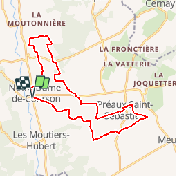


15.3 km | 17 km-effort


User


FREE GPS app for hiking
 SityTrail
IGN / Geographical institutes
SityTrail World
The world is yours!
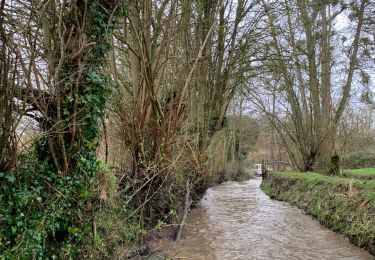
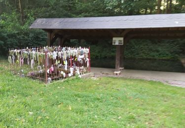
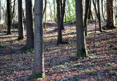
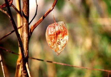
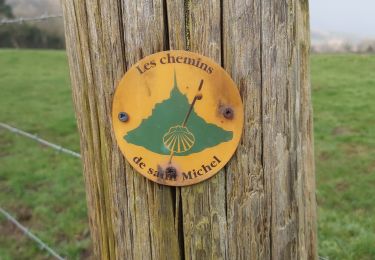
Trail Walking of 16.4 km to be discovered at Normandy, Calvados, Livarot-Pays-d'Auge. This trail is proposed by tracegps.
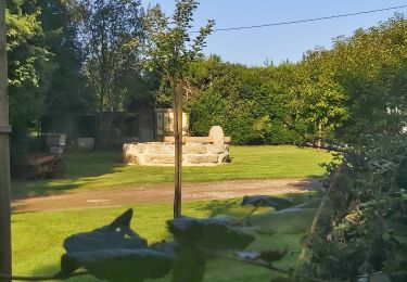
Très beau circuit dans le pays d'Auge. Départ du parking sur la D64 à Notre Dame de Courson. Passage à Préaux Saint Sébastien. Bonne balade. Sylvie


Walking
4x4
Walking
Walking
Walking

Motor
Walking