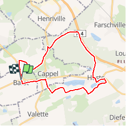

11.5 km | 14 km-effort


User


FREE GPS app for hiking
 SityTrail
IGN / Geographical institutes
SityTrail World
The world is yours!
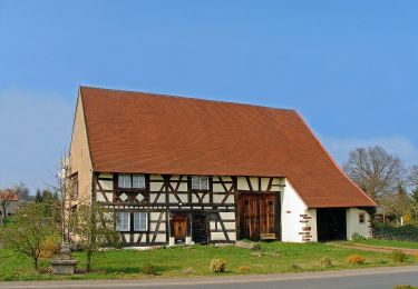
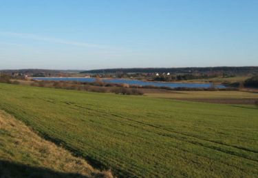
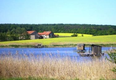
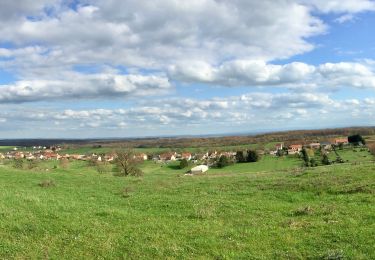
Trail Walking of 14.5 km to be discovered at Grand Est, Moselle, Barst. This trail is proposed by tracegps.
Variante du circuit 15048 praticable par tout temps, au départ de la mairie de Barst.


On foot
On foot
Walking
On foot
Walking
Mountain bike
Walking