Trail Walking Saint-Louis-lès-Bitche - Saint-Louis-Lès-Bitche et le pays du verre et du cristal - Photo

Saint-Louis-Lès-Bitche et le pays du verre et du cristal

 tracegps
tracegps

User

© OpenStreetMap contributors
Length
Length
13.1 km
Max alt
Max alt
406 m
Uphill gradient
Uphill gradient
335 m
Km-Effort
Km-Effort  
17.5 km
Min alt
Min alt
260 m
Downhill gradient
Downhill gradient
336 m
Boucle
Boucle
Yes
Creation date :
2014-12-10 00:00:00.0
Updated on :
2014-12-10 00:00:00.0

(2 Reviews)

Walking
Walking
3h19
Difficulty : Medium

Scan this QR Code to open this trail in the SityTrail application

FREE GPS app for hiking

Logo SityTrail SityTrail
IGN / Geographical institutes

Download SityTrail from the App Store Download SityTrail from Google Play

Logo SityTrail SityTrail World

The world is yours!

Download SityTrail from the App Store Download SityTrail from Google Play Download SityTrail on Huawei AppGallery

About

Trail Walking of 13.1 km to be discovered at Grand Est, Moselle, Saint-Louis-lès-Bitche. This trail is proposed by tracegps.

Description

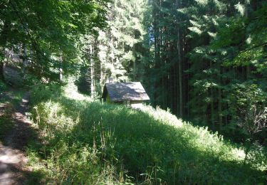
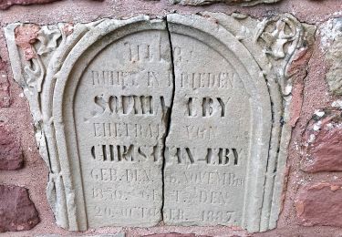
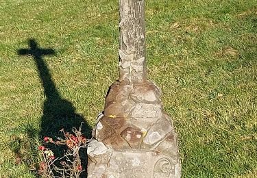
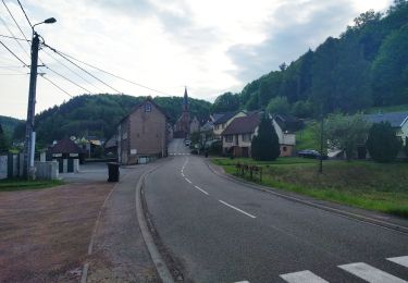
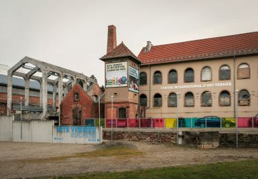
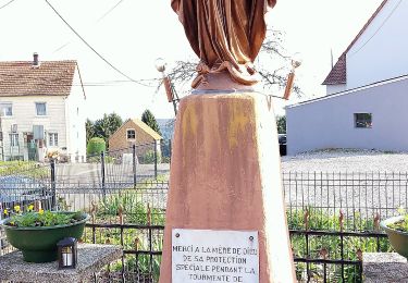
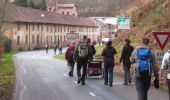
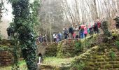
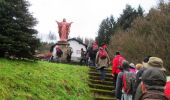
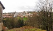
Saint-Louis-Lès-Bitche et le pays du verre et du cristal : Départ au parking devant le musée de la cristallerie de Saint-Louis-lès-Bitche. Suivre le balisage disque vert, montée par les escaliers vers la statue du Sacré-Cœur. Vue panoramique sur le village. Continuer la montée jusqu’à la plateforme de l’ancienne voie ferrée militaire de la Ligne Maginot et y rester. Tourner à droite (non balisé) à l’abri des chasseurs et se diriger vers Lemberg. Au km 3,4 jonction avec le balisage rectangle jaune-blanc-jaune que l’on suit. A partir de la Poste de Lemberg, suivre le balisage disque vert et descendre à la Bildmuehle, ancien hameau disparu avec sculpture gallo-romaine dans la cave du moulin. Continuer jusqu’à l’ancienne ferme du Jockelshof et commencer la montée vers Goetzenbruck. Dans la traversée du village, passer le long des bâtiments de l’ancienne verrerie et de la chapelle des verriers. Toujours sur disque vert, descendre vers Saint-Louis par le Klabacherthal.

Elevation profile

Photos

Positioning

Country:
France
Region :
Grand Est
Department/Province :
Moselle
Municipality :
Saint-Louis-lès-Bitche
Location:
Unknown
Start:(UTM)
379638 ; 5427294 (32U) N.

Comments

Please log in to post a review or rate the element


As tu vérifier les chemins ? ?Car certains chemins et sentier de ton Sity guide n'existent pas:(


Trails nearby

Trail On foot Montbronn - Wayside crosses tour No. 4 - Photo
On foot
PRO

On foot

Easy
Montbronn, Grand Est, Moselle, France
4.9 km | 6.2 km-effort
1h 24min
No
Trail On foot Volksberg - Anneau vert - Photo
On foot
PRO

On foot

Easy
Volksberg, Grand Est, Bas-Rhin, France
5.6 km | 7.6 km-effort
1h 43min
Yes
Trail On foot Meisenthal - Following in the footsteps of the Glass and Clog makers - Tour 2 - Photo
On foot
PRO

On foot

Easy
Meisenthal, Grand Est, Moselle, France
12.2 km | 16.7 km-effort
3h 47min
Yes
Trail On foot Meisenthal - Mooncatchers permanent trail - 20 km - Photo
On foot
PRO

On foot

Easy
Meisenthal, Grand Est, Moselle, France
8.8 km | 11.7 km-effort
2h 39min
No
Trail On foot Soucht - Mooncatchers permanent trail - 10 km - Photo
On foot
PRO

On foot

Easy
Soucht, Grand Est, Moselle, France
9.3 km | 12.5 km-effort
2h 50min
Yes
Trail On foot Goetzenbruck - Goetzenbruck fountains and washing places tour - Photo
On foot
PRO

On foot

Easy
Goetzenbruck, Grand Est, Moselle, France
6.7 km | 9.1 km-effort
2h 4min
Yes
Trail On foot Lemberg - Blue triangle - Photo
On foot
PRO

On foot

Easy
Lemberg, Grand Est, Moselle, France
9 km | 10.9 km-effort
2h 29min
No
Trail On foot Goetzenbruck - Red dot - Photo
On foot
PRO

On foot

Easy
Goetzenbruck, Grand Est, Moselle, France
8.1 km | 11.5 km-effort
2h 36min
No
Trail On foot Lemberg - Blue ring - Photo
On foot
PRO

On foot

Easy
Lemberg, Grand Est, Moselle, France
6.1 km | 7.9 km-effort
1h 48min
Yes


Close
My subscriptions