


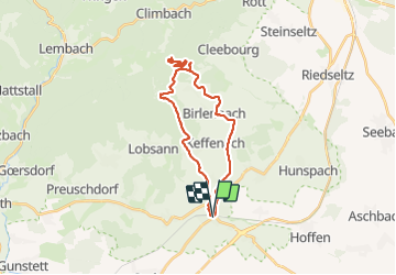
Le sentier des cimes depuis Soultz

Claudele
User

Length
26 km

Max alt
487 m

Uphill gradient
535 m
Km-Effort
33 km

Min alt
144 m

Downhill gradient
535 m
Boucle
Yes
Creation date :
2022-03-22 07:25:05.193
Updated on :
2022-03-22 15:14:11.357
7h31
Difficulty : Difficult

FREE GPS app for hiking
 SityTrail
IGN / Geographical institutes
SityTrail Plus
The world is yours!
About
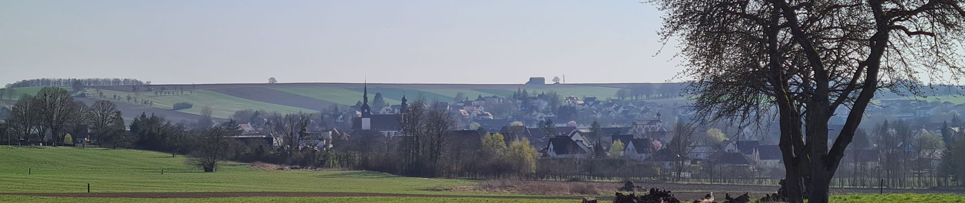
Trail Walking of 26 km to be discovered at Grand Est, Bas-Rhin, Soultz-sous-Forêts. This trail is proposed by Claudele.
Photos


78 photos in total. Please click on a photo to see them all in the gallery.
Positioning
Country:
France
Region :
Grand Est
Department/Province :
Bas-Rhin
Municipality :
Soultz-sous-Forêts
Location:
Unknown
Start:(Dec)
Start:(UTM)
418154 ; 5420812 (32U) N.
Comments