


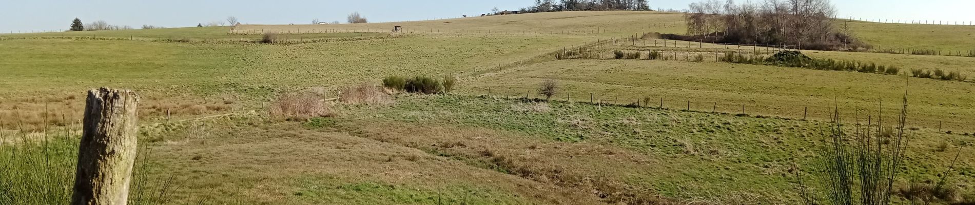
Gorges de la Loire du 22 -03-2022 jour - 2

VANDERPUTTENMi
User GUIDE
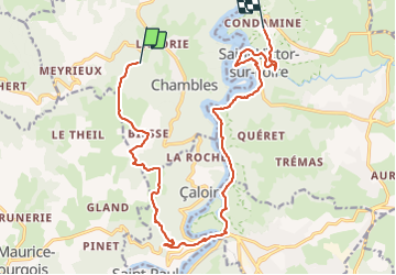

Length
19 km

Max alt
747 m

Uphill gradient
531 m
Km-Effort
26 km

Min alt
420 m

Downhill gradient
616 m
Boucle
No
Creation date :
2022-03-22 07:40:12.459
Updated on :
2022-04-08 10:27:05.31
5h04
Difficulty : Very difficult

FREE GPS app for hiking
 SityTrail
IGN / Geographical institutes
SityTrail Plus
The world is yours!
About
Trail Walking of 19 km to be discovered at Auvergne-Rhône-Alpes, Loire, Chambles. This trail is proposed by VANDERPUTTENMi.
Photos

Positioning
Country:
France
Region :
Auvergne-Rhône-Alpes
Department/Province :
Loire
Municipality :
Chambles
Location:
Unknown
Start:(Dec)
Start:(UTM)
595682 ; 5033282 (31T) N.
Comments