Trail Mountain bike Yquelon - La Maximum VTT - Granville - Photo

La Maximum VTT - Granville

 tracegps
tracegps

User

© OpenStreetMap contributors
Length
Length
51 km
Max alt
Max alt
112 m
Uphill gradient
Uphill gradient
686 m
Km-Effort
Km-Effort  
61 km
Min alt
Min alt
6 m
Downhill gradient
Downhill gradient
684 m
Boucle
Boucle
Yes
Creation date :
2014-12-10 00:00:00.0
Updated on :
2014-12-10 00:00:00.0

(1 Reviews)

Mountain bike
Mountain bike
3h19
Difficulty : Difficult

Scan this QR Code to open this trail in the SityTrail application

FREE GPS app for hiking

Logo SityTrail SityTrail

IGN / Geographical institutes

Download SityTrail from the App Store Download SityTrail from Google Play

Logo SityTrail SityTrail World

The world is yours!

Download SityTrail from the App Store Download SityTrail from Google Play Download SityTrail on Huawei AppGallery

About

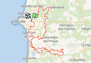
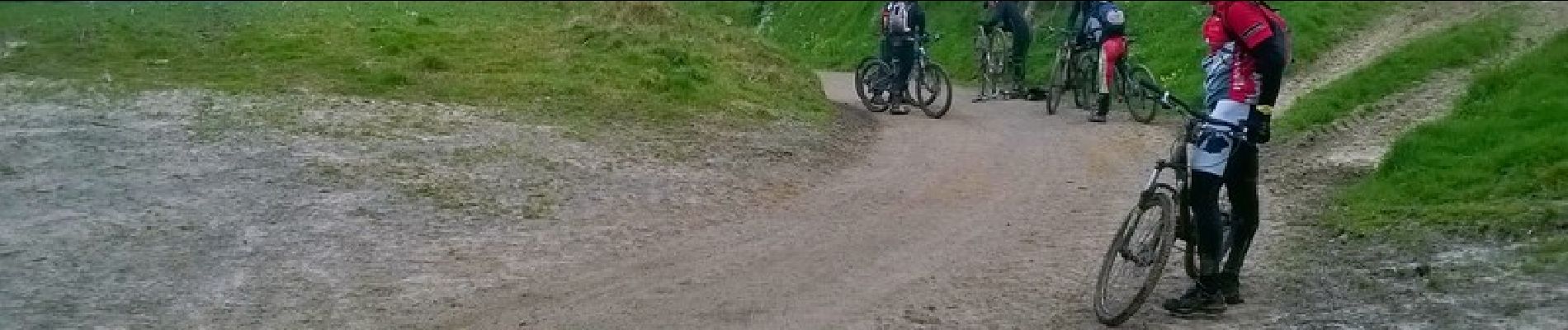
Trail Mountain bike of 51 km to be discovered at Normandy, Manche, Yquelon. This trail is proposed by tracegps.

Description

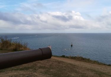
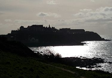
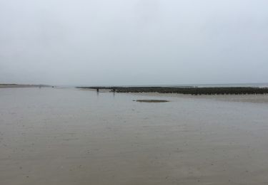
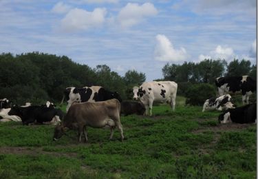
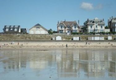
Vous ne connaissez pas le Pays Granvillais et vous allez y venir peut être en vacances cette été ?... Alors se parcours est fait pour vous. Vous pouvez le commencer là ou bon vous semble. Il vous emmènera dans divers terrains, chemins plats, caillouteux, et vous profiterez de la vue sur la mer au 25 km pour faire une petite pause bien méritée, si vous partez du magasin Maximum de Granville. Je vous souhaite une bonne rando vtt sur le Pays Granvillais.

Elevation profile

Photos

Positioning

Country:
France
Region :
Normandy
Department/Province :
Manche
Municipality :
Yquelon
Location:
Unknown
Start:(UTM)
605692 ; 5410395 (30U) N.

Comments

Please log in to post a review or rate the element


grand amateur de VTT sur des longues distances et en vacance sur Julouville , je ma suis fait plaisir avec ce parcours !Bien varié et sympa , j ai apporté sur mon intinéraire 2ou 3 petites modifs , car soit il y avait un chien ou le chemin était impraticable, sinon excellent dans l ensemble . je fais beaucoup de randos organisées par des clubs le ddimanche et on voit que ce parcours en fait partie !Merci beaucoup aux personnes qui nous permettent d apprécier les parcours dans votre belle région !Sportivement un Haut-Savoyard !( manque un peu de dénivelé :)


Trails nearby

Trail Mountain bike Donville-les-Bains - 50-vtt-donville-21km-200m - Photo
Mountain bike
SyMA

Mountain bike

Medium
Donville-les-Bains, Normandy, Manche, France
21 km | 24 km-effort
1h 39min
Yes
Trail Mountain bike Donville-les-Bains - 50-vtt-donville-28km - Photo
Mountain bike
SyMA

Mountain bike

Medium
Donville-les-Bains, Normandy, Manche, France
28 km | 31 km-effort
2h 7min
Yes
Trail Nordic walking Granville - GranvIlle Cap Lihou - Photo
Nordic walking
Patrick Legrand

Nordic walking

Medium
Granville, Normandy, Manche, France
7 km | 8.2 km-effort
1h 7min
Yes
Trail Walking Donville-les-Bains - Donville Granville - Photo
Walking
Roulland

Walking

Easy
Donville-les-Bains, Normandy, Manche, France
5.8 km | 7.6 km-effort
1h 31min
No
Trail Walking Donville-les-Bains - BALANCE SUR LES PLAGES DE BREVILLE - Photo
Walking
EricMathieu

Walking

Very easy
Donville-les-Bains, Normandy, Manche, France
18.3 km | 19.6 km-effort
4h 40min
Yes
Trail Walking Bréville-sur-Mer - Balade à Breville sur Mer - Photo
Walking
tracegps

Walking

Medium
Bréville-sur-Mer, Normandy, Manche, France
14.2 km | 15.4 km-effort
3h 0min
Yes
Trail Walking Granville - Les chemins de Saint Michel - Granville - Avranches - Photo
Walking
tracegps

Walking

Medium
Granville, Normandy, Manche, France
45 km | 52 km-effort
Unknown
No
Trail Walking Granville - De Granville a  Hauteville - Photo
Walking
sash28

Walking

Medium
Granville, Normandy, Manche, France
42 km | 46 km-effort
Unknown
No
Trail Walking Saint-Pair-sur-Mer - Saint Pair  - Photo
Walking
serleb

Walking

Very easy
Saint-Pair-sur-Mer, Normandy, Manche, France
5.7 km | 6.7 km-effort
1h 45min
Yes


Close
My subscriptions