


Mt Maccaron

Renefrt
User
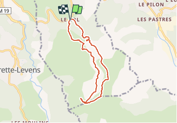

Length
7.5 km

Max alt
787 m

Uphill gradient
311 m
Km-Effort
11.7 km

Min alt
611 m

Downhill gradient
307 m
Boucle
Yes
Creation date :
2022-03-24 07:37:57.177
Updated on :
2022-03-24 11:46:49.082
4h07
Difficulty : Medium

FREE GPS app for hiking
 SityTrail
IGN / Geographical institutes
SityTrail Plus
The world is yours!
About
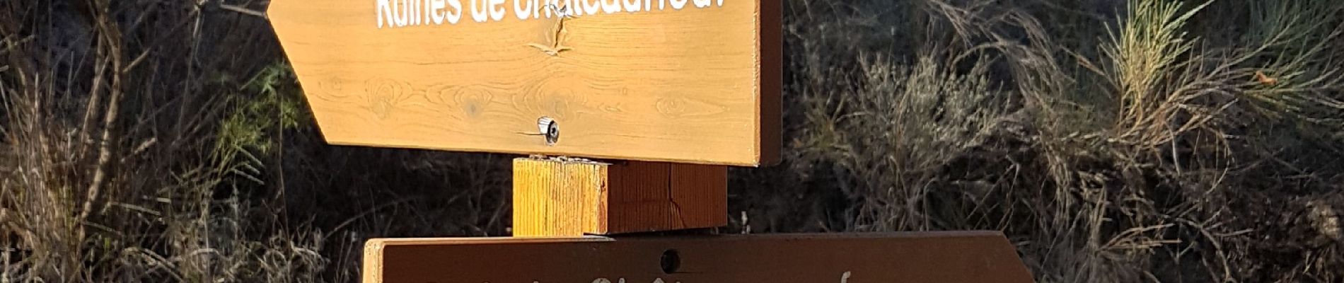
Trail Walking of 7.5 km to be discovered at Provence-Alpes-Côte d'Azur, Maritime Alps, Châteauneuf-Villevieille. This trail is proposed by Renefrt.
Photos


Positioning
Country:
France
Region :
Provence-Alpes-Côte d'Azur
Department/Province :
Maritime Alps
Municipality :
Châteauneuf-Villevieille
Location:
Unknown
Start:(Dec)
Start:(UTM)
362691 ; 4851115 (32T) N.
Comments