


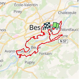

16.8 km | 24 km-effort

User


FREE GPS app for hiking
 SityTrail
IGN / Geographical institutes
SityTrail World
The world is yours!
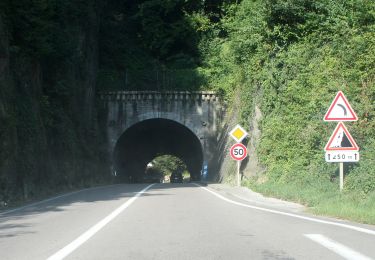
Trail Running of 47 km to be discovered at Bourgogne-Franche-Comté, Doubs, Besançon. This trail is proposed by tracegps.
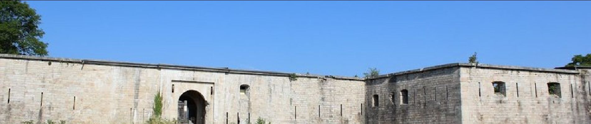
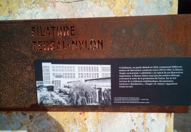
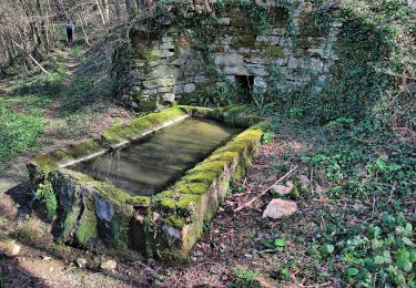
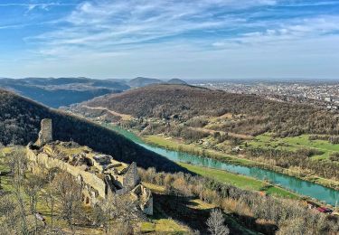
C'est le circuit du Trail des Forts de Besançon de 47km. Départ/arrivée au bord du Doubs, au centre-ville historique. Tracé technique au cœur des fortifications inscrites au patrimoine mondial de l’Unesco, véritable régal pour les yeux, relie l’intégralité des 7 Forts des 18 et 19ème siècles.


Walking
Walking

Walking
Walking
On foot

On foot
On foot
On foot
On foot