


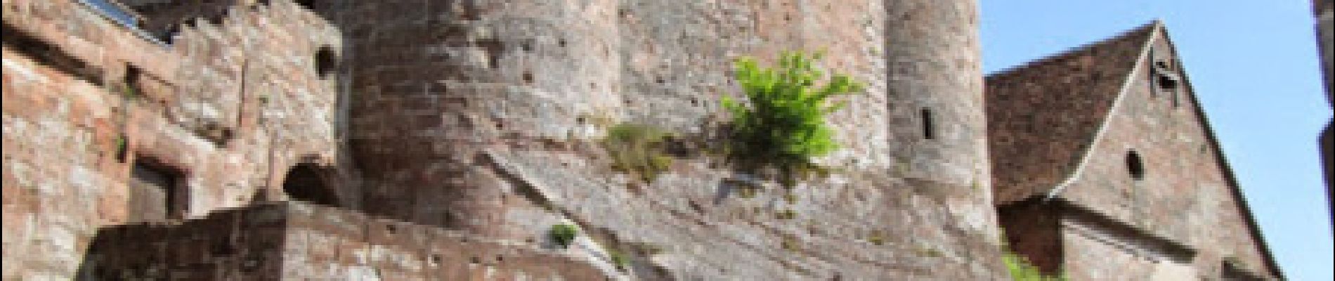
Autour du château de Lichtenberg

tracegps
User


3h25
Difficulty : Medium

FREE GPS app for hiking
 SityTrail
IGN / Geographical institutes
SityTrail Plus
The world is yours!
About
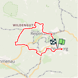
Trail Walking of 12.9 km to be discovered at Grand Est, Bas-Rhin, Lichtenberg. This trail is proposed by tracegps.
Description
Au départ du parking au centre de Lichtenberg suivre rectangle jaune. Traverser le Rothbach à Reipertswiller et tourner à gauche vers le centre du village sur la D198 rue du Moulin (non balisé 800m). À un carrefour, tourner à droite, rue de Baerenthal, balisé disque jaune, sur 500m. Puis à gauche sur anneau bleu. Au hameau de Saegemuhle, prendre balisage croix jaune. Après la traversée du ruisseau de Kindsbronn, prendre direction Sud, toujours sur croix jaune. Après 1200m, tourner à gauche sur rectangle jaune jusqu'à Lichtenberg. Après le repas, visite très intéressante du château de Lichtenberg avec une guide.
Photos


Positioning
Comments