


3.6 km | 5 km-effort

User


FREE GPS app for hiking
 SityTrail
IGN / Geographical institutes
SityTrail World
The world is yours!
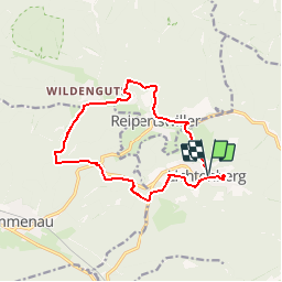
Trail Walking of 12.9 km to be discovered at Grand Est, Bas-Rhin, Lichtenberg. This trail is proposed by tracegps.
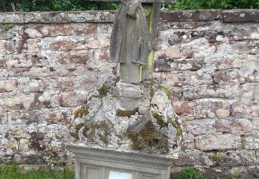
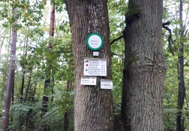
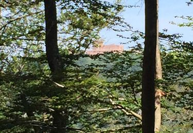
Au départ du parking au centre de Lichtenberg suivre rectangle jaune. Traverser le Rothbach à Reipertswiller et tourner à gauche vers le centre du village sur la D198 rue du Moulin (non balisé 800m). À un carrefour, tourner à droite, rue de Baerenthal, balisé disque jaune, sur 500m. Puis à gauche sur anneau bleu. Au hameau de Saegemuhle, prendre balisage croix jaune. Après la traversée du ruisseau de Kindsbronn, prendre direction Sud, toujours sur croix jaune. Après 1200m, tourner à gauche sur rectangle jaune jusqu'à Lichtenberg. Après le repas, visite très intéressante du château de Lichtenberg avec une guide.


On foot
On foot
On foot
On foot
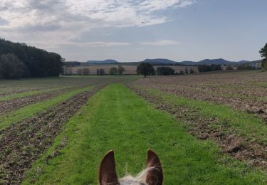
Horseback riding
Horseback riding

Horseback riding
Walking