Trail Walking Saint-Christol-de-Rodières - Trescouvieux - St Christol de Rodières - Photo

Trescouvieux - St Christol de Rodières

 tracegps
tracegps

User

© OpenStreetMap contributors
Length
Length
12.1 km
Max alt
Max alt
278 m
Uphill gradient
Uphill gradient
378 m
Km-Effort
Km-Effort  
17.2 km
Min alt
Min alt
106 m
Downhill gradient
Downhill gradient
375 m
Boucle
Boucle
Yes
Creation date :
2014-12-10 00:00:00.0
Updated on :
2014-12-10 00:00:00.0

(0 Reviews)

Walking
Walking
3h00
Difficulty : Medium

Scan this QR Code to open this trail in the SityTrail application

FREE GPS app for hiking

Logo SityTrail SityTrail

IGN / Geographical institutes

Download SityTrail from the App Store Download SityTrail from Google Play

Logo SityTrail SityTrail World

The world is yours!

Download SityTrail from the App Store Download SityTrail from Google Play Download SityTrail on Huawei AppGallery

About

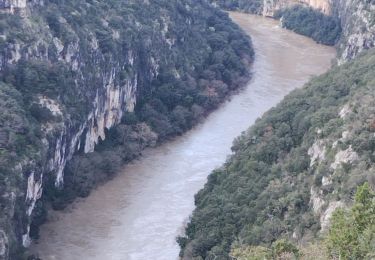
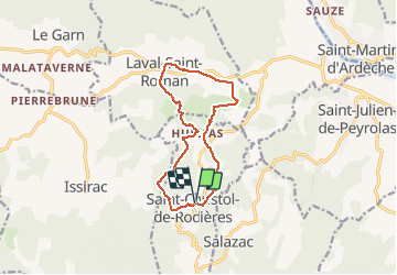
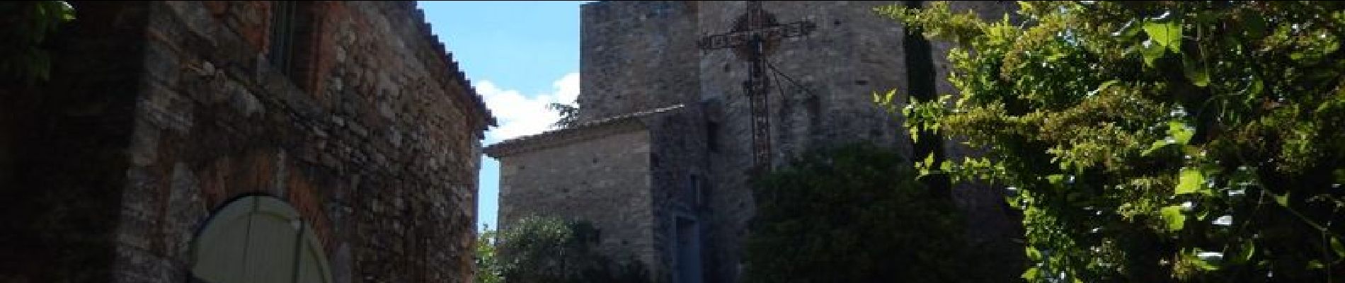
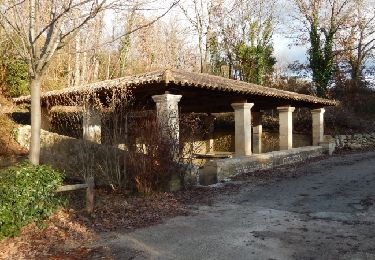
Trail Walking of 12.1 km to be discovered at Occitania, Gard, Saint-Christol-de-Rodières. This trail is proposed by tracegps.

Description

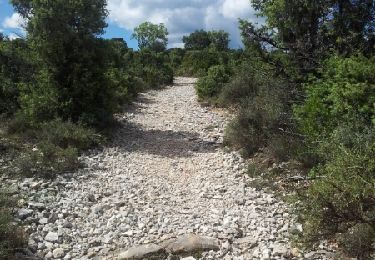
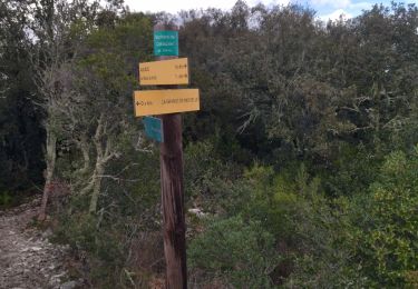
Parking D180 en contrebas du village. Passer le cimetière et gagner le hameau de Hulias à travers bois et vignes. Quitter le balisage pour Trescouvieux, traverser le hameau et suivre le balisage vers Laval-St Roman puis Hulias et Le Bézés. Passer Le Brugas pour revenir à St Christol de Rodières. Bonne randonnée !

Elevation profile

Photos

Positioning

Country:
France
Region :
Occitania
Department/Province :
Gard
Municipality :
Saint-Christol-de-Rodières
Location:
Unknown
Start:(UTM)
620929 ; 4902820 (31T) N.

Trails nearby

Trail Walking Saint-André-de-Roquepertuis - Montclus - St André de Roquepertuis - Photo
Walking
tracegps

Walking

Difficult
(1)
Saint-André-de-Roquepertuis, Occitania, Gard, France
17.4 km | 24 km-effort
5h 0min
Yes
Trail Walking Saint-Paulet-de-Caisson - Valbonne botaniques - Photo
Walking
raivavae

Walking

Easy
(1)
Saint-Paulet-de-Caisson, Occitania, Gard, France
3.3 km | 4.4 km-effort
56min
Yes
Trail Walking Saint-Martin-d'Ardèche - GR4 Aigueze - Photo
Walking
cmike39

Walking

Medium
(1)
Saint-Martin-d'Ardèche, Auvergne-Rhône-Alpes, Ardèche, France
12.6 km | 17 km-effort
4h 39min
Yes
Trail Walking Saint-Paulet-de-Caisson - PF-Chartreuse de Valbonne - Photo
Walking
MicDul

Walking

Medium
(1)
Saint-Paulet-de-Caisson, Occitania, Gard, France
14.9 km | 21 km-effort
4h 24min
Yes
Trail Walking Cornillon - Autour  de Cornillon - Photo
Walking
GUIDE
nadinebondoux

Walking

Medium
Cornillon, Occitania, Gard, France
19.3 km | 28 km-effort
5h 51min
Yes
Trail Walking Saint-Martin-d'Ardèche - Aigueze rocher de Castelviel - Photo
Walking
GUIDE
nadinebondoux

Walking

Easy
Saint-Martin-d'Ardèche, Auvergne-Rhône-Alpes, Ardèche, France
12.5 km | 16.8 km-effort
4h 11min
Yes
Trail Walking Le Garn - le garn - Photo
Walking
losjo

Walking

Medium
(1)
Le Garn, Occitania, Gard, France
16.6 km | 25 km-effort
7h 54min
Yes
Trail Walking Aiguèze - 30 aigueze ribeirol - Photo
Walking
himba26100

Walking

Difficult
Aiguèze, Occitania, Gard, France
10.7 km | 16.4 km-effort
6h 26min
Yes
Trail Walking Aiguèze - Aigueze - Photo
Walking
cousam

Walking

Difficult
Aiguèze, Occitania, Gard, France
9.4 km | 14.9 km-effort
6h 26min
No


Close
My subscriptions