


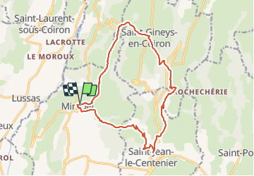
mirabel et les balles de mombrun

Vero7684
User

Length
17.7 km

Max alt
679 m

Uphill gradient
601 m
Km-Effort
26 km

Min alt
312 m

Downhill gradient
590 m
Boucle
Yes
Creation date :
2022-03-29 07:56:37.21
Updated on :
2022-03-29 14:39:41.737
5h55
Difficulty : Difficult

FREE GPS app for hiking
 SityTrail
IGN / Geographical institutes
SityTrail Plus
The world is yours!
About
Trail Walking of 17.7 km to be discovered at Auvergne-Rhône-Alpes, Ardèche, Mirabel. This trail is proposed by Vero7684.
Photos


Positioning
Country:
France
Region :
Auvergne-Rhône-Alpes
Department/Province :
Ardèche
Municipality :
Mirabel
Location:
Unknown
Start:(Dec)
Start:(UTM)
618990 ; 4940620 (31T) N.
Comments