


Wikiloc - Boucle Noire GR412 2020

daniel_2w
User
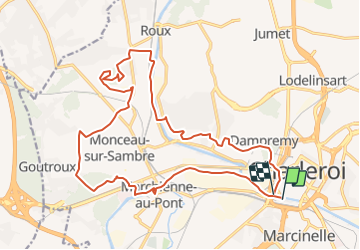

Length
20 km

Max alt
194 m

Uphill gradient
323 m
Km-Effort
24 km

Min alt
96 m

Downhill gradient
321 m
Boucle
No
Creation date :
2022-03-29 18:17:09.536
Updated on :
2022-03-29 18:18:01.579
0m
Difficulty : Very easy

FREE GPS app for hiking
 SityTrail
IGN / Geographical institutes
SityTrail Plus
The world is yours!
About
Trail Nordic walking of 20 km to be discovered at Wallonia, Hainaut, Charleroi. This trail is proposed by daniel_2w.
Positioning
Country:
Belgium
Region :
Wallonia
Department/Province :
Hainaut
Municipality :
Charleroi
Location:
Charleroi
Start:(Dec)
Start:(UTM)
602224 ; 5584727 (31U) N.
Comments