


Le mazet trounas montagneol le mazet

lablaquiere
User
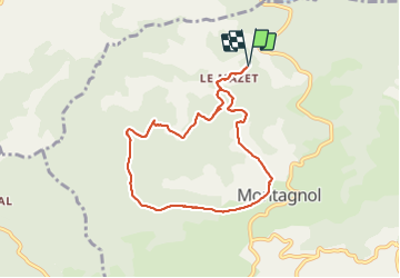

Length
8.2 km

Max alt
661 m

Uphill gradient
232 m
Km-Effort
11.3 km

Min alt
514 m

Downhill gradient
232 m
Boucle
Yes
Creation date :
2022-03-31 12:57:38.848
Updated on :
2022-03-31 14:58:13.261
2h00
Difficulty : Medium

FREE GPS app for hiking
 SityTrail
IGN / Geographical institutes
SityTrail Plus
The world is yours!
About
Trail Walking of 8.2 km to be discovered at Occitania, Aveyron, Montagnol. This trail is proposed by lablaquiere.
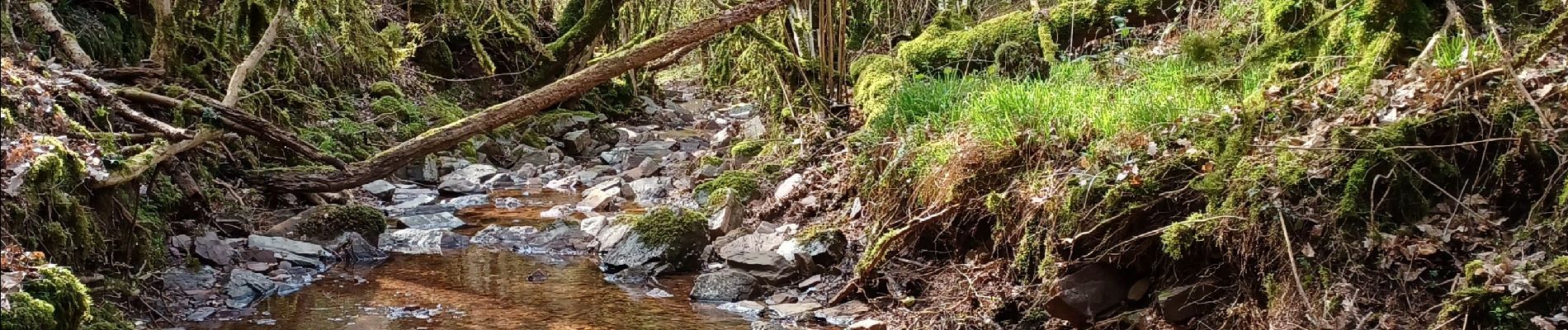
Photos


Positioning
Country:
France
Region :
Occitania
Department/Province :
Aveyron
Municipality :
Montagnol
Location:
Unknown
Start:(Dec)
Start:(UTM)
500696 ; 4855530 (31T) N.
Comments