


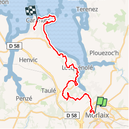


22 km | 28 km-effort

User


FREE GPS app for hiking
 SityTrail
IGN / Geographical institutes
SityTrail World
The world is yours!
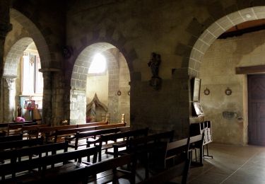
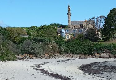
Trail Walking of 28 km to be discovered at Brittany, Finistère, Saint-Martin-des-Champs. This trail is proposed by lagardienne.
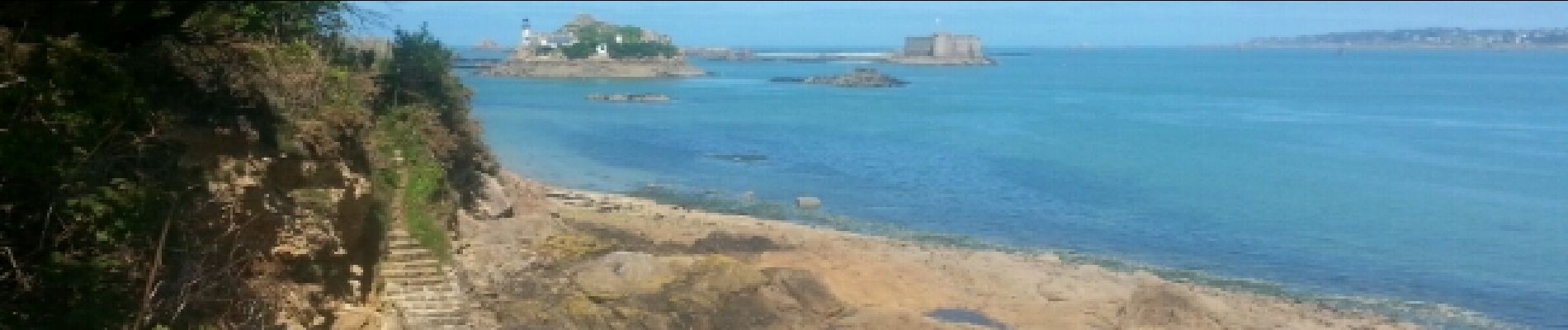
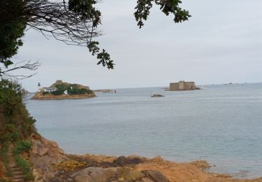
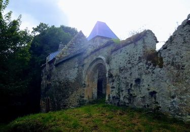
Bientôt sur le jardindelolo.fr le récit de mon périple sur le GR 34, étape par étape avec commentaires et photos.


Walking
On foot
On foot

On foot

Walking

Walking

Walking
Bicycle tourism

Nordic walking