


CR_Domitia_BA_23_Tarascon_St-Remy-Provence_20220404

patrickdanilo
User
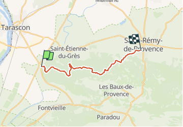

Length
17 km

Max alt
235 m

Uphill gradient
420 m
Km-Effort
22 km

Min alt
12 m

Downhill gradient
357 m
Boucle
No
Creation date :
2022-04-04 08:16:14.601
Updated on :
2022-04-11 14:11:16.373
4h42
Difficulty : Medium

FREE GPS app for hiking
 SityTrail
IGN / Geographical institutes
SityTrail Plus
The world is yours!
About
Trail Walking of 17 km to be discovered at Provence-Alpes-Côte d'Azur, Bouches-du-Rhône, Tarascon. This trail is proposed by patrickdanilo.
Description
Randonnée Marche de 17 km à découvrir à Provence-Alpes-Côte d'Azur, Bouches-du-Rhône, Tarascon. Cette randonnée est proposée par patrickdanilo.
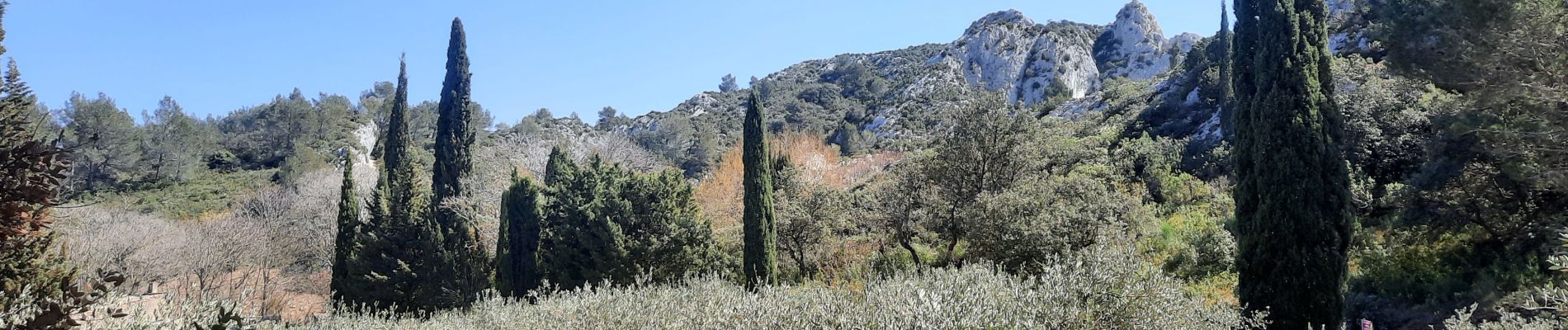
Photos


Positioning
Country:
France
Region :
Provence-Alpes-Côte d'Azur
Department/Province :
Bouches-du-Rhône
Municipality :
Tarascon
Location:
Unknown
Start:(Dec)
Start:(UTM)
636376 ; 4847337 (31T) N.
Comments