


rando du Maido

marcagif
User
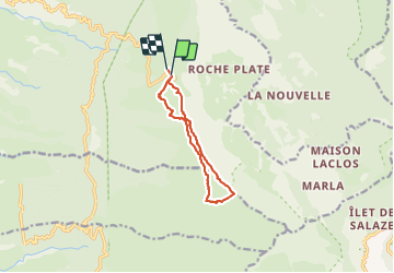

Length
12.6 km

Max alt
2622 m

Uphill gradient
485 m
Km-Effort
19.1 km

Min alt
2155 m

Downhill gradient
497 m
Boucle
Yes
Creation date :
2022-04-05 05:37:33.356
Updated on :
2022-04-05 11:55:32.769
4h44
Difficulty : Medium

FREE GPS app for hiking
 SityTrail
IGN / Geographical institutes
SityTrail Plus
The world is yours!
About
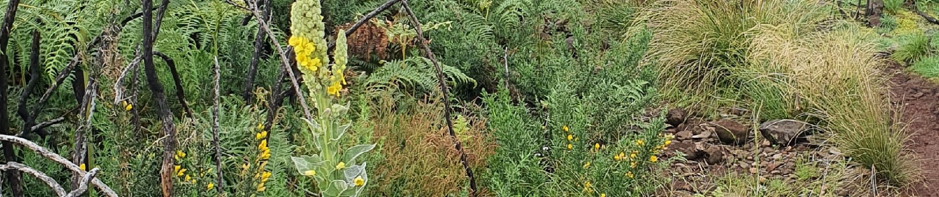
Trail Walking of 12.6 km to be discovered at Réunion, Unknown, Saint-Paul. This trail is proposed by marcagif.
Photos


Positioning
Country:
France
Region :
Réunion
Department/Province :
Unknown
Municipality :
Saint-Paul
Location:
Unknown
Start:(Dec)
Start:(UTM)
332331 ; 7669172 (40K) S.
Comments