


Le tapage piton cabris retour via bras patate

marcagif
User
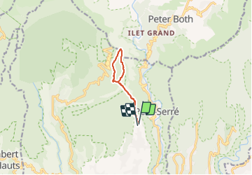

Length
11 km

Max alt
1500 m

Uphill gradient
765 m
Km-Effort
21 km

Min alt
897 m

Downhill gradient
779 m
Boucle
Yes
Creation date :
2022-04-08 05:42:26.985
Updated on :
2022-04-09 09:29:41.929
4h11
Difficulty : Medium

FREE GPS app for hiking
 SityTrail
IGN / Geographical institutes
SityTrail Plus
The world is yours!
About
Trail Walking of 11 km to be discovered at Réunion, Unknown, Saint-Louis. This trail is proposed by marcagif.
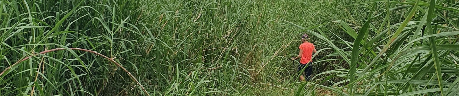
Photos


Positioning
Country:
France
Region :
Réunion
Department/Province :
Unknown
Municipality :
Saint-Louis
Location:
Unknown
Start:(Dec)
Start:(UTM)
338704 ; 7652655 (40K) S.
Comments