


ttt

Arnaud Bilocq
User
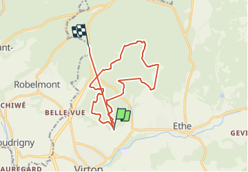

Length
15.6 km

Max alt
342 m

Uphill gradient
490 m
Km-Effort
22 km

Min alt
247 m

Downhill gradient
407 m
Boucle
No
Creation date :
2022-04-10 07:18:18.589
Updated on :
2022-04-10 10:06:41.31
1h21
Difficulty : Very difficult

FREE GPS app for hiking
 SityTrail
IGN / Geographical institutes
SityTrail Plus
The world is yours!
About
Trail Walking of 15.6 km to be discovered at Wallonia, Luxembourg, Virton. This trail is proposed by Arnaud Bilocq.
Positioning
Country:
Belgium
Region :
Wallonia
Department/Province :
Luxembourg
Municipality :
Virton
Location:
Virton
Start:(Dec)
Start:(UTM)
684027 ; 5495078 (31U) N.
Comments