


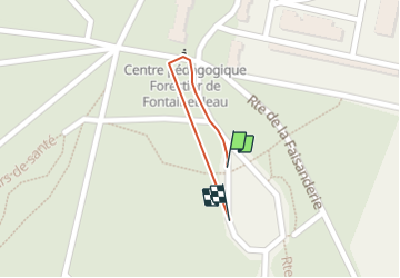
20220410 Fausanderie

Caroline Chabbert
User

Length
217 m

Max alt
87 m

Uphill gradient
1 m
Km-Effort
233 m

Min alt
83 m

Downhill gradient
2 m
Boucle
Yes
Creation date :
2022-04-10 09:58:49.766
Updated on :
2022-04-10 10:58:50.865
59m
Difficulty : Easy

FREE GPS app for hiking
 SityTrail
IGN / Geographical institutes
SityTrail Plus
The world is yours!
About
Trail Running of 217 m to be discovered at Ile-de-France, Seine-et-Marne, Fontainebleau. This trail is proposed by Caroline Chabbert.
Positioning
Country:
France
Region :
Ile-de-France
Department/Province :
Seine-et-Marne
Municipality :
Fontainebleau
Location:
Unknown
Start:(Dec)
Start:(UTM)
476160 ; 5361332 (31U) N.
Comments