


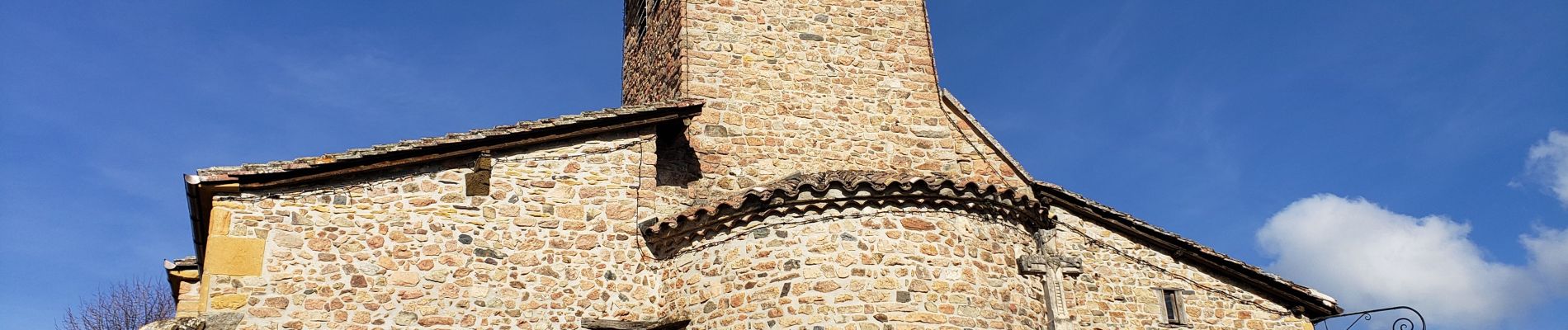
Chambost avec forêt des expériences et belvédère

daniellebou
User


Length
18.5 km

Max alt
732 m

Uphill gradient
589 m
Km-Effort
26 km

Min alt
369 m

Downhill gradient
589 m
Boucle
Yes
Creation date :
2022-04-10 08:27:50.771
Updated on :
2022-04-12 21:49:42.465
6h40
Difficulty : Very difficult

FREE GPS app for hiking
 SityTrail
IGN / Geographical institutes
SityTrail Plus
The world is yours!
About
Trail Walking of 18.5 km to be discovered at Auvergne-Rhône-Alpes, Rhône, Chambost-Allières. This trail is proposed by daniellebou.
Photos


24 photos in total. Please click on a photo to see them all in the gallery.
Positioning
Country:
France
Region :
Auvergne-Rhône-Alpes
Department/Province :
Rhône
Municipality :
Chambost-Allières
Location:
Unknown
Start:(Dec)
Start:(UTM)
617385 ; 5097021 (31T) N.
Comments