


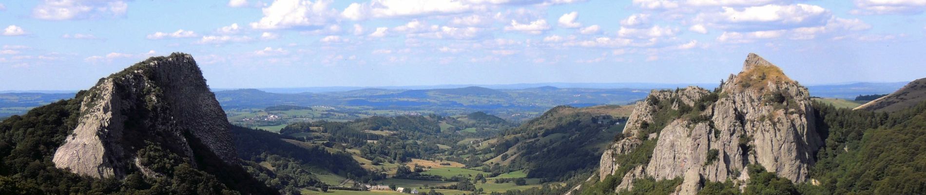
Orcival_Roches_Tuiliere_Sanadoire

jagarnier
User GUIDE


5h15
Difficulty : Difficult

FREE GPS app for hiking
 SityTrail
IGN / Geographical institutes
SityTrail Plus
The world is yours!
About
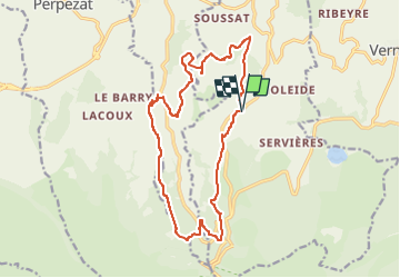
Trail Walking of 17 km to be discovered at Auvergne-Rhône-Alpes, Puy-de-Dôme, Orcival. This trail is proposed by jagarnier.
Description
Une boucle au départ de Rouchaube Haut qui permet de découvrir la Roche branlante (rocher en équilibre) et de faire le tour des deux célèbres pitons volcaniques que sont la Roche Tuillière et la Roche Sanadoire.
Photos

Positioning
Comments