


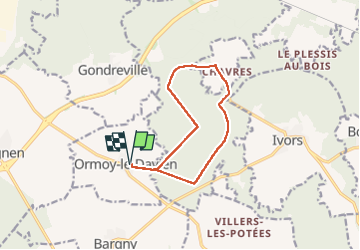
Boucle départ Ormoy le Davien 60620 - Foret de Retz

Vadim
User

Length
10.4 km

Max alt
152 m

Uphill gradient
141 m
Km-Effort
12.3 km

Min alt
110 m

Downhill gradient
141 m
Boucle
Yes
Creation date :
2022-04-14 10:40:10.0
Updated on :
2022-04-14 13:32:30.962
2h06
Difficulty : Very easy

FREE GPS app for hiking
 SityTrail
IGN / Geographical institutes
SityTrail Plus
The world is yours!
About
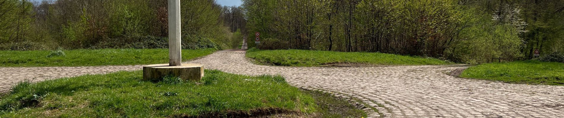
Trail Walking of 10.4 km to be discovered at Hauts-de-France, Oise, Ormoy-le-Davien. This trail is proposed by Vadim.
Description
Facile
Photos


Positioning
Country:
France
Region :
Hauts-de-France
Department/Province :
Oise
Municipality :
Ormoy-le-Davien
Location:
Unknown
Start:(Dec)
Start:(UTM)
497164 ; 5449155 (31U) N.
Comments