


Cascade de l'Enversin

cousam
User
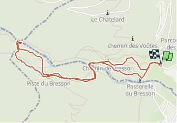

Length
3.1 km

Max alt
630 m

Uphill gradient
213 m
Km-Effort
5.9 km

Min alt
404 m

Downhill gradient
211 m
Boucle
Yes
Creation date :
2022-04-16 08:42:58.328
Updated on :
2022-04-16 10:03:30.784
1h11
Difficulty : Easy

FREE GPS app for hiking
 SityTrail
IGN / Geographical institutes
SityTrail Plus
The world is yours!
About
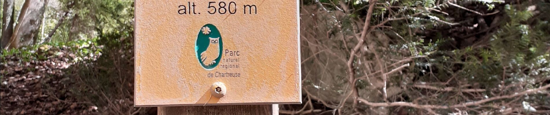
Trail Walking of 3.1 km to be discovered at Auvergne-Rhône-Alpes, Isère, Saint-Vincent-de-Mercuze. This trail is proposed by cousam.
Photos


Positioning
Country:
France
Region :
Auvergne-Rhône-Alpes
Department/Province :
Isère
Municipality :
Saint-Vincent-de-Mercuze
Location:
Unknown
Start:(Dec)
Start:(UTM)
730534 ; 5028435 (31T) N.
Comments