


Sceautres 17042022

michel13370
User
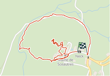

Length
1.8 km

Max alt
517 m

Uphill gradient
83 m
Km-Effort
2.9 km

Min alt
420 m

Downhill gradient
98 m
Boucle
Yes
Creation date :
2022-04-17 14:05:34.0
Updated on :
2022-04-17 15:19:54.706
43m
Difficulty : Medium

FREE GPS app for hiking
 SityTrail
IGN / Geographical institutes
SityTrail Plus
The world is yours!
About
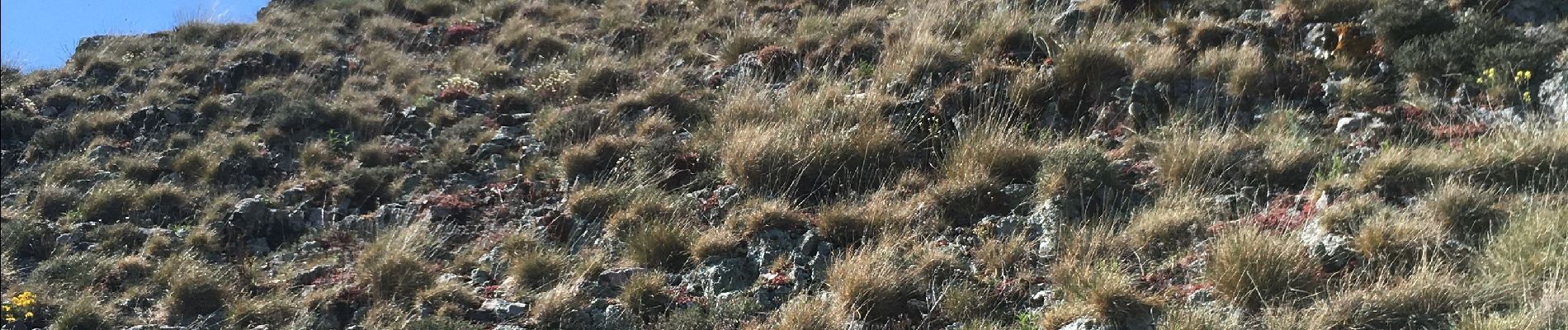
Trail Walking of 1.8 km to be discovered at Auvergne-Rhône-Alpes, Ardèche, Sceautres. This trail is proposed by michel13370.
Photos


Positioning
Country:
France
Region :
Auvergne-Rhône-Alpes
Department/Province :
Ardèche
Municipality :
Sceautres
Location:
Unknown
Start:(Dec)
Start:(UTM)
627544 ; 4941631 (31T) N.
Comments