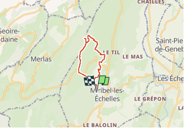
Circuit panoramique au départ de Miribelle

choubaka77
User

Length
9.5 km

Max alt
859 m

Uphill gradient
295 m
Km-Effort
13.4 km

Min alt
682 m

Downhill gradient
298 m
Boucle
Yes
Creation date :
2022-04-17 12:27:16.0
Updated on :
2022-04-17 15:36:40.22
2h57
Difficulty : Easy

FREE GPS app for hiking
 SityTrail
IGN / Geographical institutes
SityTrail Plus
The world is yours!
About
Trail Walking of 9.5 km to be discovered at Auvergne-Rhône-Alpes, Isère, Miribel-les-Échelles. This trail is proposed by choubaka77.
Description
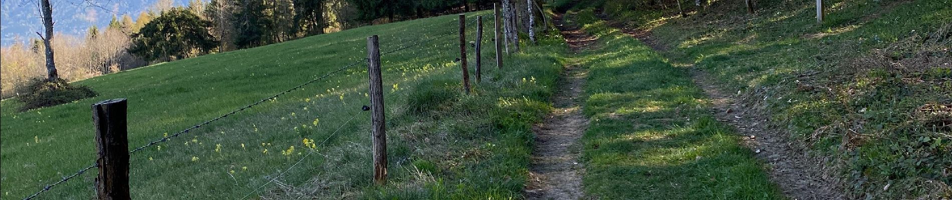
Superbe balade en balcon au dessus de la vallée du Guier avec un panorama à 180 sur tout le versant ouest du massif de la Chartreuse
Photos


Positioning
Country:
France
Region :
Auvergne-Rhône-Alpes
Department/Province :
Isère
Municipality :
Miribel-les-Échelles
Location:
Unknown
Start:(Dec)
Start:(UTM)
711311 ; 5034210 (31T) N.
Comments