


roches de Nans

fbienmuller
User
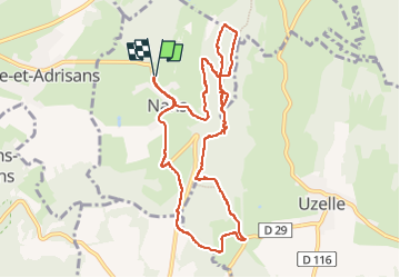

Length
10.2 km

Max alt
466 m

Uphill gradient
257 m
Km-Effort
13.7 km

Min alt
291 m

Downhill gradient
257 m
Boucle
Yes
Creation date :
2022-04-18 09:24:14.163
Updated on :
2022-04-18 12:29:24.509
2h43
Difficulty : Medium

FREE GPS app for hiking
 SityTrail
IGN / Geographical institutes
SityTrail Plus
The world is yours!
About
Trail Walking of 10.2 km to be discovered at Bourgogne-Franche-Comté, Doubs, Nans. This trail is proposed by fbienmuller.
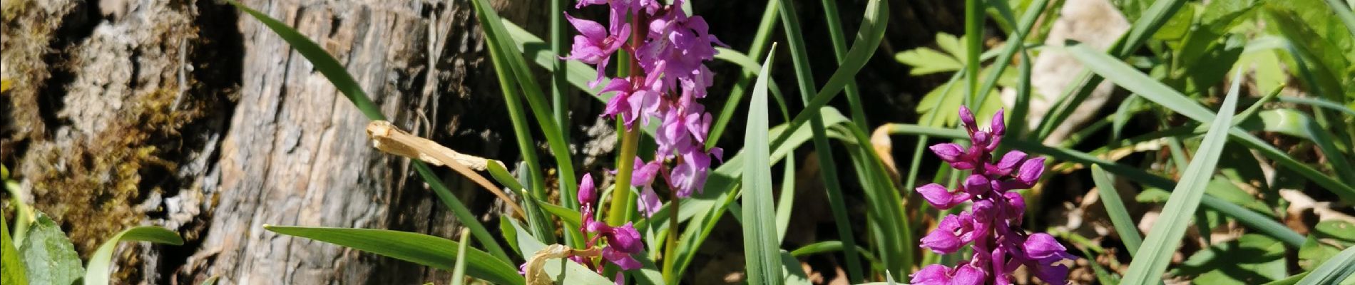
Photos


Positioning
Country:
France
Region :
Bourgogne-Franche-Comté
Department/Province :
Doubs
Municipality :
Nans
Location:
Unknown
Start:(Dec)
Start:(UTM)
304842 ; 5261657 (32T) N.
Comments