


Puy de Vichatel

walrou63
User
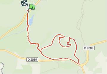

Length
6.2 km

Max alt
1086 m

Uphill gradient
180 m
Km-Effort
8.6 km

Min alt
951 m

Downhill gradient
177 m
Boucle
Yes
Creation date :
2022-04-18 12:53:32.61
Updated on :
2022-04-18 15:13:41.307
2h07
Difficulty : Medium

FREE GPS app for hiking
 SityTrail
IGN / Geographical institutes
SityTrail Plus
The world is yours!
About
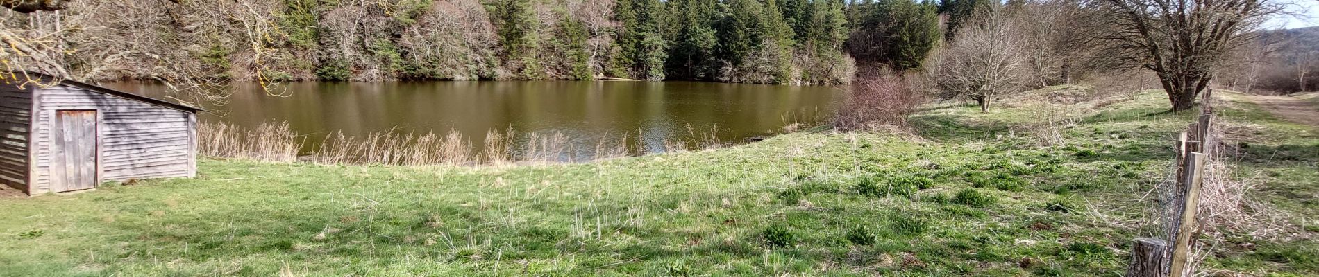
Trail Walking of 6.2 km to be discovered at Auvergne-Rhône-Alpes, Puy-de-Dôme, Aydat. This trail is proposed by walrou63.
Photos


Positioning
Country:
France
Region :
Auvergne-Rhône-Alpes
Department/Province :
Puy-de-Dôme
Municipality :
Aydat
Location:
Unknown
Start:(Dec)
Start:(UTM)
496200 ; 5059907 (31T) N.
Comments