


Coincy du 19-04-2022

VANDERPUTTENMi
User GUIDE
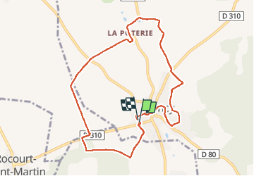

Length
8.8 km

Max alt
140 m

Uphill gradient
123 m
Km-Effort
10.5 km

Min alt
95 m

Downhill gradient
124 m
Boucle
Yes
Creation date :
2022-04-19 11:45:59.808
Updated on :
2022-04-20 19:26:52.125
1h57
Difficulty : Medium

FREE GPS app for hiking
 SityTrail
IGN / Geographical institutes
SityTrail Plus
The world is yours!
About
Trail Walking of 8.8 km to be discovered at Hauts-de-France, Aisne, Coincy. This trail is proposed by VANDERPUTTENMi.
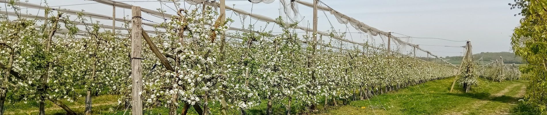
Photos

Positioning
Country:
France
Region :
Hauts-de-France
Department/Province :
Aisne
Municipality :
Coincy
Location:
Unknown
Start:(Dec)
Start:(UTM)
530467 ; 5445249 (31U) N.
Comments