


Cosne sur Loire

taguette
User
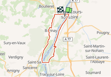

Length
25 km

Max alt
184 m

Uphill gradient
221 m
Km-Effort
28 km

Min alt
137 m

Downhill gradient
222 m
Boucle
Yes
Creation date :
2022-04-21 07:13:51.12
Updated on :
2022-04-21 12:31:44.631
5h01
Difficulty : Very difficult

FREE GPS app for hiking
 SityTrail
IGN / Geographical institutes
SityTrail Plus
The world is yours!
About
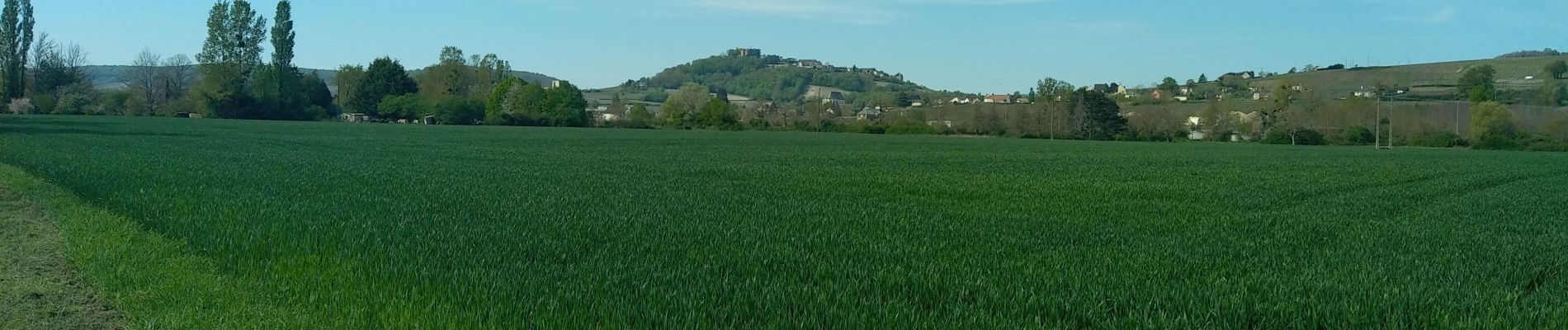
Trail Walking of 25 km to be discovered at Centre-Loire Valley, Cher, Bannay. This trail is proposed by taguette.
Photos

Positioning
Country:
France
Region :
Centre-Loire Valley
Department/Province :
Cher
Municipality :
Bannay
Location:
Unknown
Start:(Dec)
Start:(UTM)
493678 ; 5250429 (31T) N.
Comments