


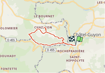
VALLEE DE SANS SOUCI - CHATEAU DE CHAZERON

walrou63
User

Length
6.5 km

Max alt
678 m

Uphill gradient
251 m
Km-Effort
9.9 km

Min alt
435 m

Downhill gradient
252 m
Boucle
Yes
Creation date :
2022-04-28 12:56:12.34
Updated on :
2022-04-28 16:34:01.875
2h15
Difficulty : Medium

FREE GPS app for hiking
 SityTrail
IGN / Geographical institutes
SityTrail Plus
The world is yours!
About
Trail Walking of 6.5 km to be discovered at Auvergne-Rhône-Alpes, Puy-de-Dôme, Châtel-Guyon. This trail is proposed by walrou63.
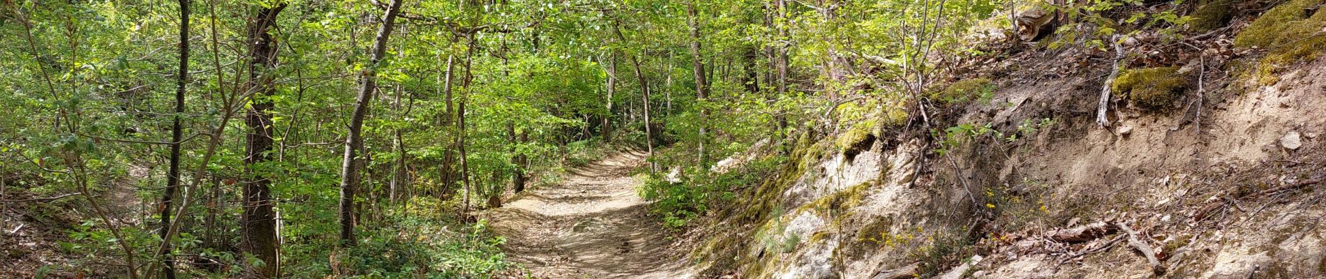
Photos


23 photos in total. Please click on a photo to see them all in the gallery.
Positioning
Country:
France
Region :
Auvergne-Rhône-Alpes
Department/Province :
Puy-de-Dôme
Municipality :
Châtel-Guyon
Location:
Unknown
Start:(Dec)
Start:(UTM)
504227 ; 5084714 (31T) N.
Comments